


70 GPSMAP 188/188C Sounder Owner’s Manual
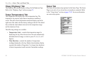
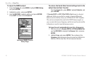
MAIN MENU > UNITS TAB
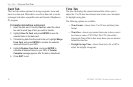
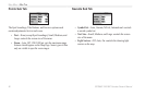
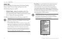
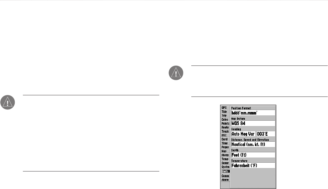
Units Tab
The Unit tab defines the Position Format, Map Datum, Heading,
Distance, Speed, Elevation, Depth, and Temperature units.
The following settings are available:
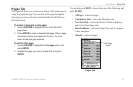
• Position Format—changes the coordinate system. You
should only change the position format if you are using a
map or chart that specifies a different position format or want
to use a format with which you are familiar.
For additional information on Loran TD setup, see
page 108.
NOTE: The Units tab settings affects how navigation
information is displayed on the GPSMAP 188/188C Sounder.
When in doubt, seek assistance.
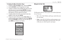
If you are using a map or chart in conjunction with your GPS,
make sure the settings under the Units tab of the GPSMAP 188/
188C Sounder match that of the map or chart. This information
should be displayed somewhere on the map or chart. If the
information is not present, contact the map or chart maker to
determine what position format, datum, heading and units of
measure are being used for the map or chart.
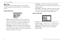
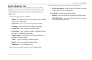
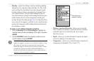
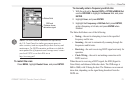
• Map Datum—sets the datum reference used to determine
a given location. The default setting is WGS 84. The
unit automatically chooses the best datum depending on
your chosen position format. Datums are used to describe
geographic locations for surveying, mapping, and navigation.
You should only change the datum if you are using a map or
chart that specifies a different datum.
WARNING: Selecting the wrong map datum can result in
substantial position errors. Unless otherwise specified by
the navigation documentation you are using, use the default
WGS 84 datum for best overall performance.
Units Tab