


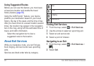
26 nüvi 3400 Series Owner’s Manual
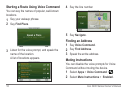
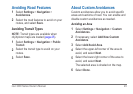
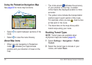
Using the Pedestrian Navigation Map
See page 20 for more map functions.
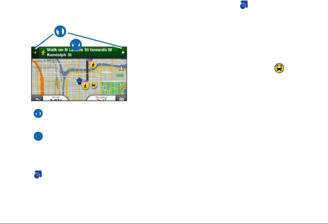
➋
➊
• Select ➊ to switch between sections of the
route.
• Select
➋ to view the route itinerary.
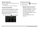
About Map Icons
• When you are navigating in Pedestrian
mode,
indicates your approximate
position and your direction of travel on the
map.
• The circle around
indicates the accuracy
of your position on the map. A smaller
circle means the displayed position is more
accurate.
• The yellow icons indicate the transportation
method used in each section of the route.
For example, when you see
, board a bus
at that point in the route.
• The black dots on the map show public
transit stops along your route.
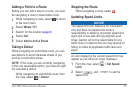
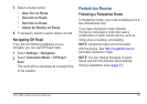
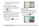
Enabling Transit Types
NOTE: Transit types are available when
cityXplorer maps are loaded (page 25).
1
Select Settings > Navigation > Public
Transit.
2
Select the transit type to include in your
routes, and select Save.