


INA-W910R Navigation Software Owner’s Manual 79
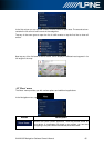
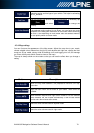
North-up map orientation
In North-up mode the map is rotated so its top always faces North. This is the orientation for
example in Find on Map.
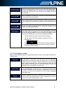
Road Safety Camera
Special alert points for speed, red light or bus lane cameras. Different data sources are
available. You can configure the software to warn you when you approach one of these
cameras.
Detecting the location of Road Safety Cameras is prohibited in certain countries. It is the sole
responsibility of the driver to check whether this feature can be used during the trip.
The software is capable of showing and warning for more than just cameras. Various other
types of proximity alert points like school zones and railway crossings are also available.
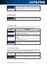
Route
A sequence of route events, i.e. manoeuvres (for example, turns and roundabouts) to reach
the destination. The route contains one start point and one or more destinations. The start
point is the current (or last known) position by default. If you need to see a future route, the
start point can be replaced with any other given point.
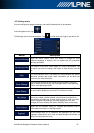
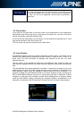
Track-up map orientation
In Track-up mode the map is rotated so its top always points in the current driving direction.
This is the default orientation in 3D map view mode.
Vehicle marker
The current position is shown with a blue arrow on the map by default. The direction of the
blue arrow shows the current heading. This position marker can be replaced with different 3D
vehicle symbols. You can even specify different Vehicle markers for different route types
(depending on which vehicle type is selected for route calculation).