


F10
13
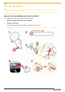
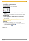
How do I navigate with GPS?
The Global Positioning System (GPS) is available at any time, free of charge, and is accurate to within 5m (15ft).
GPS navigation is made possible by a network of satellites that orbit the Earth at around 20,200km (12,552mi). Each
satellite transmits a range of signals which are utilized by GPS receivers, such as your Navman, to determine an
exact location. Although a GPS receiver can detect signals from up to 12 satellites at any time, only four signals are
required to provide a position or "GPS fix" (latitude and longitude), for vehicle navigation systems.
How does my Navman receive GPS signals?
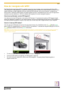
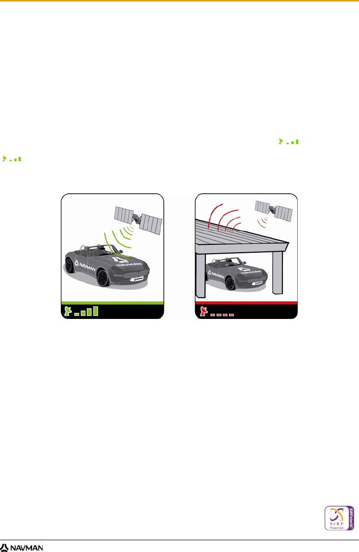
Your Navman receives GPS signals via the internal GPS antenna. To guarantee the optimum GPS signal strength,
ensure your Navman is outdoors, or in a vehicle outdoors, and has an unobstructed view of the sky. GPS reception is
not usually affected by weather, however, very heavy rain or snow may have a negative effect on your reception.
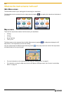
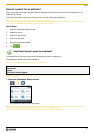
How do I view my GPS status?
You can view your GPS status at any time from the map screens or the Viewfinder screen. displays green
when a GPS fix is established and red when a GPS fix is unavailable. To indicate the reception strength of a GPS fix,
displays between one and four green vertical bars.
Note: Before you begin, check if your vehicle is fitted with a heat-reflective or heated windscreen. If so, you may need to purchase an
external antenna for your Navman to receive GPS signals. The first time you use your Navman, it may take up to 15 minutes to
establish a GPS connection.
To view your GPS status in more detail, see "GPS Status" on page 54.
To set your GPS mode, see “Setting your GPS mode” on page 55.
For more information about GPS, refer to the GPS Navigation - Frequently Asked Questions guide at
support.navman.com.