


31
Getting Started
31
Reference
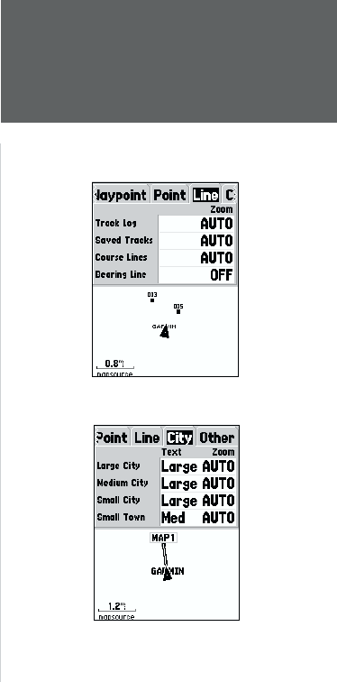
Saved Tracks —
are Track Logs that have been saved in the units memory.
Course Lines —
controls the display of the Route Line and Go To Line.
Bearing Line —
The Bearing Line will show the bearing from your current
location to the active waypoint. This can be used to steer the shortest path
to your waypoint.
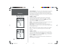
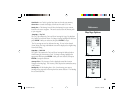
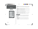
Setup Map — ‘City’ Tab
The ‘City’ Tab contains the ‘Text’ and ‘Zoom’ settings for Large City, Medium
City, Small City and Small Towns. To change a setting, highlight the fi eld then
press ENTER. Make your selection, then press ENTER to accept.
The City settings are used to de-clutter the map. If ‘Auto’ is the selected
‘Zoom’ setting, the Large and Medium cities will be displayed at a higher Map
Zoom Scale setting.
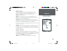
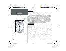
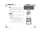
Setup Map — ‘Other’ Tab
The ‘Other’ Tab contains the ‘Text’ and ‘Zoom’ settings for Railroad and an
On/Off setting for the Accuracy Circle. To change a setting, highlight the
appropriate fi eld then press ENTER. Make your new selection, then press
ENTER to accept the selection.
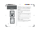
Accuracy Circle —
The Accuracy Circle is displayed around the Location
Triangle on the Map Page. The Accuracy Circle depicts the estimated accuracy
of the location.
Heading Line —
If the Heading line is ‘On’, a line showing your current
heading will be projected on the map from the current location. The Heading
line is a thin black line.
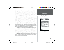
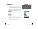
Setup Map — ‘Line’ Tab
Setup Map — ‘City’ Tab
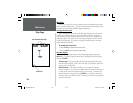
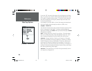
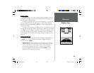
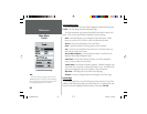
Map Page Options
190-00229-00.indd 07/25/01, 11:22 AM31