


30
Getting Started
30
Reference
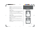
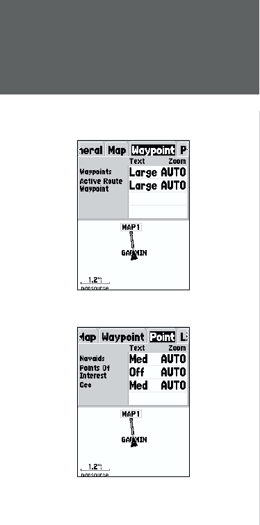
Active Route Waypoint —
This option sets the display parameters for waypoints
that are in an Active Route. As an example, if you have selected ‘Small’ as
the text option for all waypoints, but selected ‘Large’ as the setting for Active
Route Waypoints, the waypoints included in an Active Route will be displayed
with large text on the Map Page.
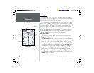
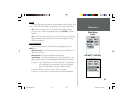
Setup Map — ‘Point’ Tab
The ‘Point’ Tab contains the Navaids, Points of Interest, and Geo option
settings. Each of the options has a ‘Text’ and ‘Zoom’ setting. To change a
setting, highlight the appropriate fi eld then press ENTER. Make your new
selection, then press ENTER to accept the selection.
Navaids —
are items displayed on the Map that aid navigation. Navaids can be
landmarks, milemarkers, hazards, light houses, buoys, etc.
Points of Interest —
include general business listings such as restaurants,
hotels, gas stations, etc. Points of Interest are only available if MapSource data
has been loaded in the unit.
Geo —
include points such as schools, cemeteries, churches, towers, glaciers,
parks, etc. Geo data is only available if MapSource data has been loaded
in the unit.
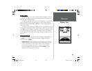
Setup Map — ‘Line’ Tab
The ‘Line’ Tab contains the ‘Zoom’ scale settings for Track Log, Saved Tracks,
Active Route, and an ‘Off/On setting for the Bearing Line. To change a setting,
highlight the appropriate fi eld then press ENTER. Make your new selection,
then press ENTER to accept the selection.
Track Log —
the Track Log is the bread crumb trail that is left behind as your
position changes on the Map Page.
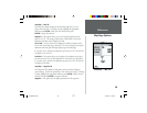
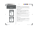
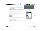
Setup Map — ‘Waypoint’ Tab
Setup Map — ‘Point’ Tab
Map Page Options
190-00229-00.indd 07/25/01, 11:22 AM30