Reference
35
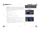
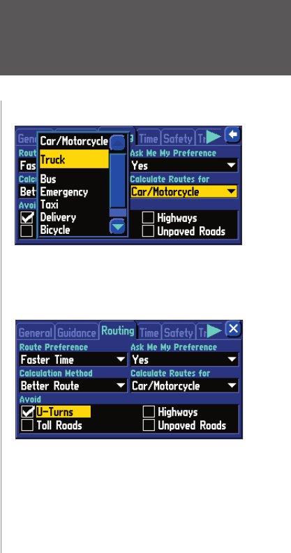
Calculate Routes for – Lets you take full advantage of the routing information built into the City Naviga-
tor maps. Some roads have vehicle-based restrictions. For example, a street or gate may be accessible by
emergency vehicles only, or a residential street may not allow commercial trucking traffi c. By specifying
which vehicle type you are driving, you can avoid being routed through an area that is prohibited for your
type of vehicle. Likewise, the StreetPilot 2610/2650 may give you access to roads or turns that wouldn’t be
available to normal traffi c. The following options are available:
• Car/Motorcycle
• Truck (large semi-tractor/trailer/lorry)
• Bus
• Emergency (ambulance, fi re department, police, etc.)
• Taxi
• Delivery (delivery vehicles)
• Bicycle (avoids routing through interstates and major highways)
• Pedestrian
Avoid – Lets you avoid certain things that may be undesirable on your route.
• U-Turns: if checked, the StreetPilot 2610/2650 does not direct you to make a U-turn unless abso-
lutely necessary.
• Toll Roads: if checked, the StreetPilot 2610/2650 avoids entering toll roads, but still does so if the
other alternatives take you too far out of your way.
• Highways: if checked, the StreetPilot 2610/2650 avoids routing you through interstates and major
highways, but still does so if the other alternatives take you too far out of your way.
• Unpaved Roads: if checked, the StreetPilot 2610/2650 avoids unpaved surfaces, but still does so if the
other alternatives take you too far out of your way.
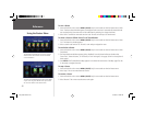
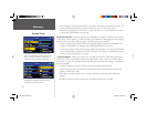
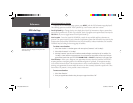
Using the ‘Calculate Routes for’ option allows you
to take full advantage of the routing information
contained in the City Navigator maps for planning
the most effi cient route for your type of vehicle.
You may also choose to avoid U-Turns.
System Setup
2610_2650 OM.indd 35 8/1/2003, 4:16:02 PM


