22 SporTrak Color GPS Mapping Receiver
Reference
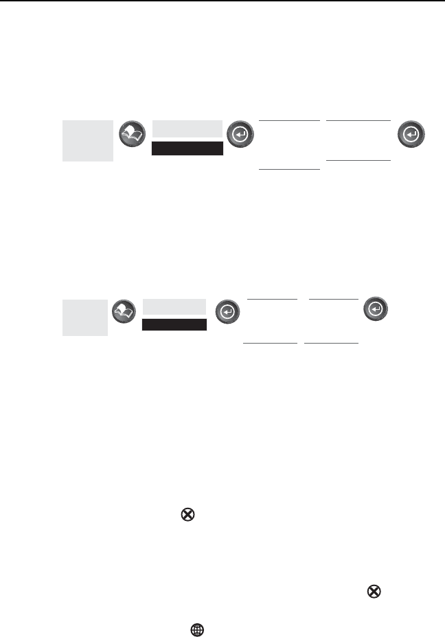
Tu r n i ng On/Off Displayed POI’s — [Available only if a map has been
uploaded from a Magellan MapSend Streets and Destinations or
MapSend Topo for the United States CD-ROM] Allows you to select
which, if any, POIs that have been uploaded from a MapSend product
to be displayed. Default is On.
From
the MAP
Screen
Highlight
Map Setup
Use L/R
arrows to
select
“Display” tab
Use U/D
arrows to
select POI
Globally Turn Map Items On/Off — If you have uploaded map data from
a MapSend product, you will notice that the list of POIs can be
extremely lengthy. To aide you in the customization of the display you
can turn everything on or off globally.
To turn off all map items, follow these instructions.
From
the MAP
Screen
Highlight
Map Setup
Use L/R
arrows to
select
“Display” tab
Use U/D
arrows to
select
Clear All
After you have turned off all of the map items, you can go back and just
select the POIs that you want to view. Please note that this function
will also turn off waypoints, track lines and, if applicable, topo lines. Be
sure to turn these back on if you want to see them.
Inversely, to globally turn on all of the map items, follow the above steps
but select “Mark All” instead of “Clear All”.
Setting Up Map Data Fields — The following options are available ONLY
if you are in the Position Mode of the Map screen. If you are in the
cursor mode, press the [ESC] key and the display will snap back to
the Position Mode with the arrow icon displaying your present postion.
(If you are not clear on which mode you are in, the simpliest way to
determine it is to see what cursor is displayed; an arrow indicates
Position and a crosshair indicates Cursor. If you press the [ESC] key
and the display changes to another Nav Screen you were in the Position
Mode and you can press [NAV] to return to the map.


