


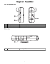
Maps and Data
3
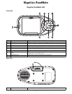
Maps and Data
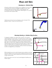
Basemaps vs. Detailed Map
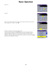
A basemap contains major map features such as highways and town centres.
The basemap that is built into the Magellan RoadMate has basic detail
sufficient for generally orienting oneself to a broad geographic area.
The basemap is used when routing between detailed regions, or to a point on
the map (this will be explained later).
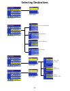
Detailed maps include all roads and highways, points of interest (POIs),
geographic features, railways and street addresses.
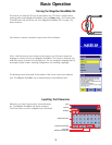
Basemap Routing vs. Detailed Map Routing
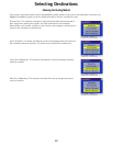
The Magellan RoadMate comes with a built-in basemap. The basemap
contains highways and town centres. The basemap does not contain street
address information, points of interest, or other map data (such as waterways,
railroads, or parks). The Magellan RoadMate can route via the basemap to a
town centre or point selected on the screen using the available road data.
Where there is no data, a thin, straight line from point to point will be used with
a flag indicating the start and finish of normal street routing. You will be routed
from your current position via a straight line to the nearest major road or
freeway on-ramp, along the freeway to the off-ramp closest to your destination,
and then via straight line to your destination.
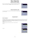
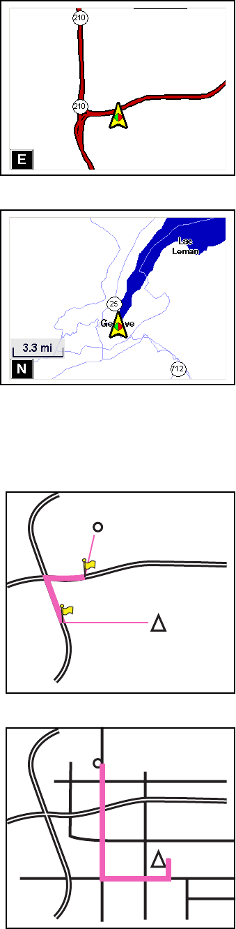
With the detailed map, you are routed using turn-by-turn guidance on all town
streets and highways. Also, you have access to detailed map data and points of
interest. As you can see, with the detailed map the route becomes more direct
using the surface streets.
With this information in mind, let’s see how the Magellan RoadMate routes
between regions.
Destination
Current Position
Destination Selected from
detailed map database
Current Position