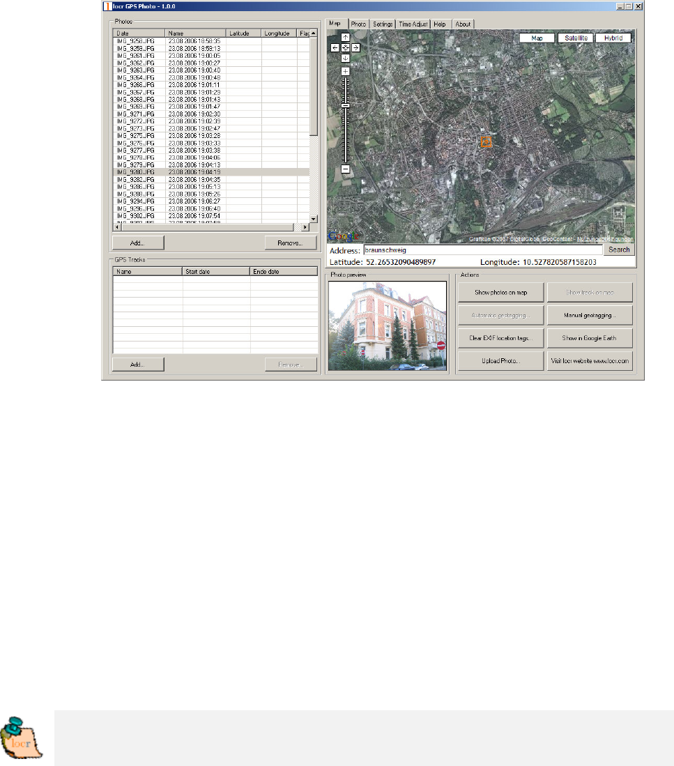
• Clicking the “Show Photos on Map” button, shows your photos in
combination with their position on the map. Note: To show the
position on the map, locr uses Google Maps, which means you
need a fast internet connection.
• The “Clear EXIF location tags…” button allows you to delete the
latitude and longitude information. Caution: The information
will be deleted for all photos, not only for the selected one/s!
• To view the photos in Google Earth, first click the “Show in
Google Earth”, and then the “Yes” button.
• Now select the photo/s you want to upload and click the “Upload
Photos” button.
• At least determine the privacy status, click “OK”, and then have
a look at the locr web site.
Please note: Uploading the photos may take a while.
Geotagging via “zoom and click”
Sure, geotagging using the address is the easiest way. But if you do
not know the exact address, or rather prefer to look, where the photo
may have been taken, do the following:
• Start the locr GPS Photo software:
“Start” > “Programs” > “locr” > “locr GPS Photo”.
On the left you see the “Photos” area.
• To open a photo, click “Add...” and select a photo/photos.
Photos, which already contain GPS information will be flagged


