


Northstar M121/M84 Installation and Operation Manual 21
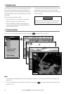
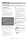
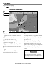
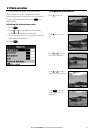
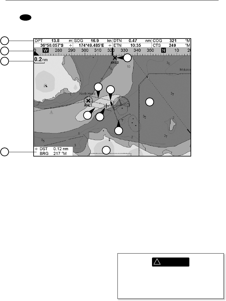
A typical chart window shows:
3-2 Chart window
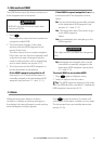
To go to the Chart window:
• Press
DISPLAY
and select Chart
A Data header. To turn the data off or on or to
change what data is displayed (see section
2-7-3)
B Compass (see section 2-7-4)
C Chart scale (see section 3-2-3)
D Boat position (see section 3-2-1)
E Boat track (see section 3-5)
F Boat course and CDI lines (see Appendix C,
CDI).
G Distance and bearing of cursor from boat
H Land
I Sea
J The cursor (see section 3-2-1)
K A typical waypoint (see section 6 )
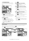
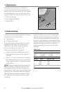
Note:
To change the types of information displayed
on the chart, see section 17-2.
To change to a perspective view of the chart,
see section 3-2-6.
If the region on the chart is covered by a
chart card then the card’s information is
automatically displayed on the chart. If the
region is not covered by a chart card then the
chart displays a simplified built-in world chart
which is suitable for planning and general
interest.
A
B
C
G
I
H
E
D
J
K
F
F
!
WARNING
The built-in world chart does not show
enough detail for navigation. When you
use the M121/M84 to navigate, always use a
chart card which covers the region.