


Magellan GPS 315/GPS 320 43
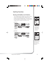
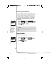
Selecting Map Datum
You can change the datum the receiver uses to compute
position coordinates. You will want your receiver’s datum to
match the datum on the map or chart you are using. Use
the map “legend” to determine the datum required for the
map or chart. If you are not using a map or chart or are
unsure which datum to use, select WGS84.
WPT NAMES
OFF
ON
WPT NAMES
OFF
ON
WPT NAMES
OFF
ON
MAP DATUM
PRIMARY
SECONDARY
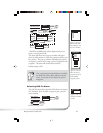
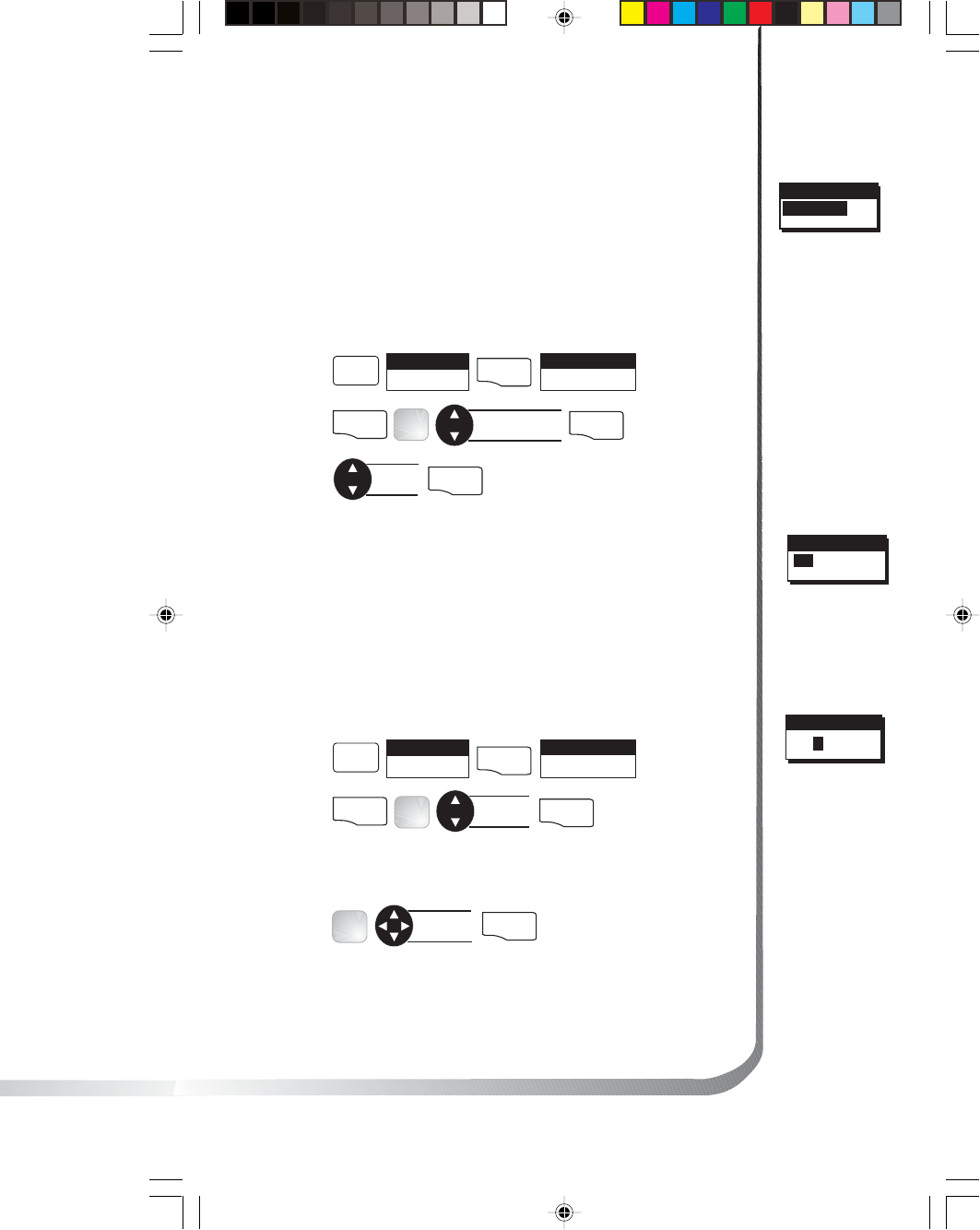
MENU
Select
SETUP
ENTER
Select
MAP DATUM
ENTER
Select primary
or secondary
ENTER
FIG.
D
Select
datum
ENTER
Default setting: WGS84
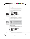
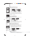
Selecting Elevation Mode
You have the option of changing your elevation mode to 2D
(2-Dimensional) or 3D (3-Dimensional). You may find 2D
useful if you know the elevation of your position and the
elevation will not change. Your receiver will compute
elevation in 3D mode but will not in 2D mode.
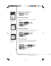
MENU
Select
SETUP
ENTER
Select
ELEV MODE
ENTER
Select
3D or 2D
ENTER
FIG
.
E
WPT NAMES
OFF
ON
WPT NAMES
OFF
ON
WPT NAMES
OFF
ON
ELEV MODE
3D
2D
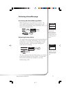
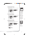
If you select 3D, the receiver will return to SETUP. If 2D is
selected, the receiver will ask for elevation.
WPT NAMES
OFF
ON
WPT NAMES
OFF
ON
WPT NAMES
OFF
ON
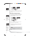
ELEVATION
0000FT
Input
elevation
ENTER
FIG.
F
Default setting: 3D
Figure D. Be sure
the map datum
matches the datum
required for the
maps or charts you
are using.
Figure F. If you
are at sea level, you
can use 2D
because your
elevation is zero.
Figure E. You can
choose from 2D
or 3D.