


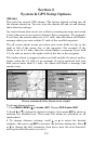

147
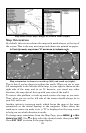
1. From the Map Page, go to the simulator menu. Pick a
STARTING
POSITION at or near the beginning of your trail/route. Enter an
approximate
TRACK (shown in compass degrees) that will point you
toward the start of the trail/route.
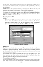
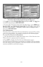
2. Set
SPEED to zero. Select STEER WITH ARROWS command and press ENT,
which turns on the simulator and returns you to the Map Page.
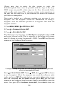
3. Begin navigating along the trail/route. (If you are close enough to the
first waypoint, the arrival alarm will usually go off as soon as
navigation begins. Press
EXIT to clear the alarm.) When navigation
starts, press ↑ to increase speed to the desired setting.
4. Press
EXIT to turn off the steering and speed boxes. The unit will now
automatically "steer" along the trail or route. When you arrive at your
"destination," cancel navigation as you normally do.
Tip:
You can pick any spot on the map to begin your simulation session
by using the Initialize GPS command. This makes your unit think
it's located at the position you select.
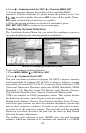
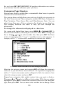
Hide GPS Features
If there is no GPS antenna/receiver module attached to this unit, the
GPS menus and features can be hidden from view with this command.
The default setting is off, allowing you to rotate between the Sonar
Page and the GPS pages and features. To hide GPS features:
Press
MENU|MENU|↓ to SYSTEM SETUP|ENT|↓ to HIDE GPS FEATURES|ENT.
The GPS menus and pages are now hidden.
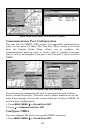
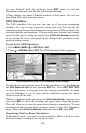
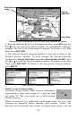
Initialize GPS
This command makes the unit operate as if it is sitting someplace other
than its actual location. So, you and your unit could be located in
Kansas City, but practice navigating in the ocean off Islamorada,
Florida.
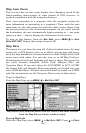
1. With the GPS simulator off, press
MENU|MENU|↓ to GPS
S
ETUP|ENT|ENT.
2. A message appears, telling you to move the cursor near the desired
location and press
ENT. When the message automatically clears, follow
the message instructions. Turn on the GPS Simulator.
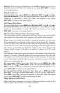
3. In a moment, your present position marker arrow appears on the
map in the location you selected with the cursor. The unit will consider
that spot as its last known position until changed by either a live
satellite lock-on or a new simulator location.