


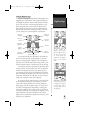
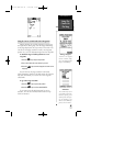

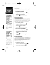
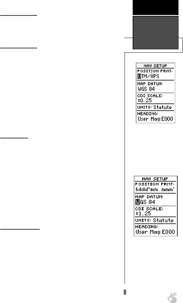
Navigation Setup
The navigation setup page is used to select units of
measurement for position format, map datum, CDI scale,
and distance, speed, and heading information.
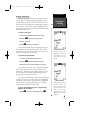
Position Formats
The default position setting for the GPS 38 is latitude
and longitude in degrees and minutes (hdddºmm.mmm’).
You may also select degrees, minutes and seconds
(hdddºmm’ss.s’’); degrees only (hddd.dddddº); UTM/UPS
coordinates; or British, German, Irish, Maidenhead,
Swedish, Swiss, or Taiwan grid formats.
To select a position format:
1. Highlight the ‘POSITIONFRMT’ field and press
E
.
2. Use the
U
and
D
keys to select the desired setting.
Confirm the setting by pressing
E
.
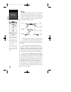
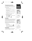
Map Datums
The map datum field is located just below the position
format field, and comes with a WGS 84 default setting.
Although 104 total map datums are available for use (see
the map datum listing in appendix B), you should only
change the datum if you are using maps or charts that spec-
ify a different datum than WGS 84.
To select a map datum:
1. Highlight the ‘MAPDATUM’ field and press
E
.
2. Select the desired setting. Confirm the setting by pressing
E
.
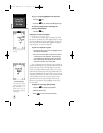
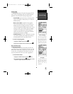
CDI Scale Settings
The course deviation indicator (CDI) scale definition
field lets you select the +/- range of the CDI bar scale. Three
scales are available: +/- 0.25, 1.25 and 5.0 miles or kilome-
ters, with 0.25 being the default setting.
To enter a CDI scale setting:
1. Highlight the ‘CDISCALE’ field and press
E
.
2. Select the desired setting.
3. Press the
E
key to confirm the selection.
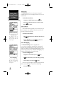
NAV Setup Page
The position format may be
set to display your position
in various lat/lon or grid
formats.
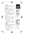
Map Datum
The GPS 38’s default map
datum is WGS 84.
WARNING: Using the
wrong map datum can seri-
ously affect the accuracy of
your GPS.
R E F E R E N C E
Navigation
Setup
47
GPS 38 Man Rev B 7/23/98 4:34 PM Page 47