


88
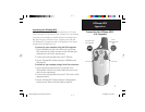
GPSmap 60CS
Appendices
Downloading MapSource
Map Data
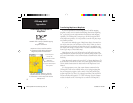
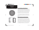
Garmin MapSource
CD-ROM’s offer a variety of detailed mapping
data and
navigation information.
MapSource is also an excellent medium
for storage and safety backup of Personal
Waypoints, Routes and Saved Tracks.
See your Garmin Dealer or visit the
Garmin web site
at: www.garmin.com
for information on which maps work with the
GPSmap 60CS.
Transferring MapSource Map Data
If you have purchased a Garmin MapSource CD-ROM mapping
program you may want to transfer detailed map data before beginning
use, to provide your unit with maximum Find features and mapping
capability. The GPSmap 60CS accepts up to 56 MB of map data from
most MapSource products. It is not possible to transfer 3rd party maps
into Garmin products.
You cannot view multiple types of MapSource data in the same loca-
tion at the same time (one will draw over the other). When you leave a
MetroGuide area for example and enter the area of a topographic map,
the display will change to contour lines. The same is true when moving
from a topo map to a MetroGuide map.
Maps that are at the top of the hierarchy and will replace any other
map information. Because new maps are constantly being released, con-
sult your Garmin Dealer or the Garmin website to determine the order of
hierarchy.
Map data transfer requires the use of a PC, a Garmin MapSource CD-
ROM, and the Universal Service Bus (USB) cable supplied with this unit.
Follow detailed instructions for data transfer in the MapSource User’s
Manual.
It is also important to note, that certain features contained in the
GPSmap 60CS will not be enabled unless you are using mapping data
they are designed to support, such as many of the Find Features that
require maps like City Select, City Navigator and Blue Chart and DEM
Elevation Profi les that require U.S. TOPO 24K maps. Visit the Garmin
website for details on all of the maps for use with the GPSmap 60CS.
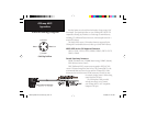
Garmin MapSource
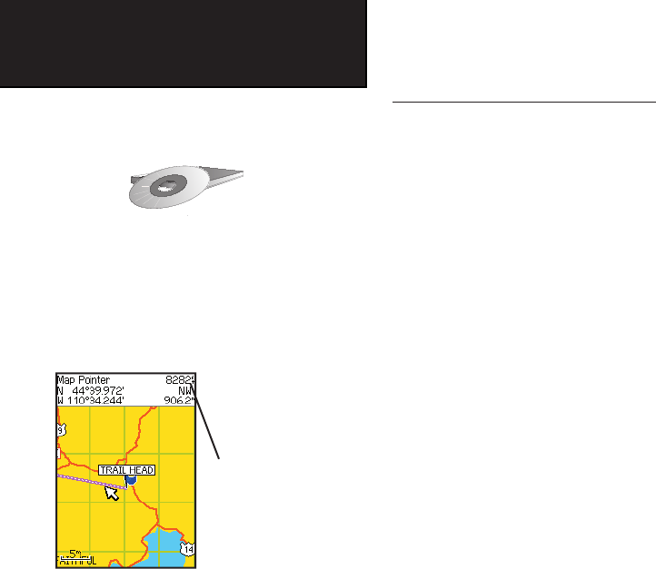
U.S. Topo 24K
Digital Elevation Models
(DEM) Maps
provide elevation data
at any point identified by the
Panning Arrow
GPSmap 60CS Owner's Guide copy.indd 88 2/23/2004, 8:14:36 AM