screen
Tap and keep pressing the following buttons to reach extra functions:
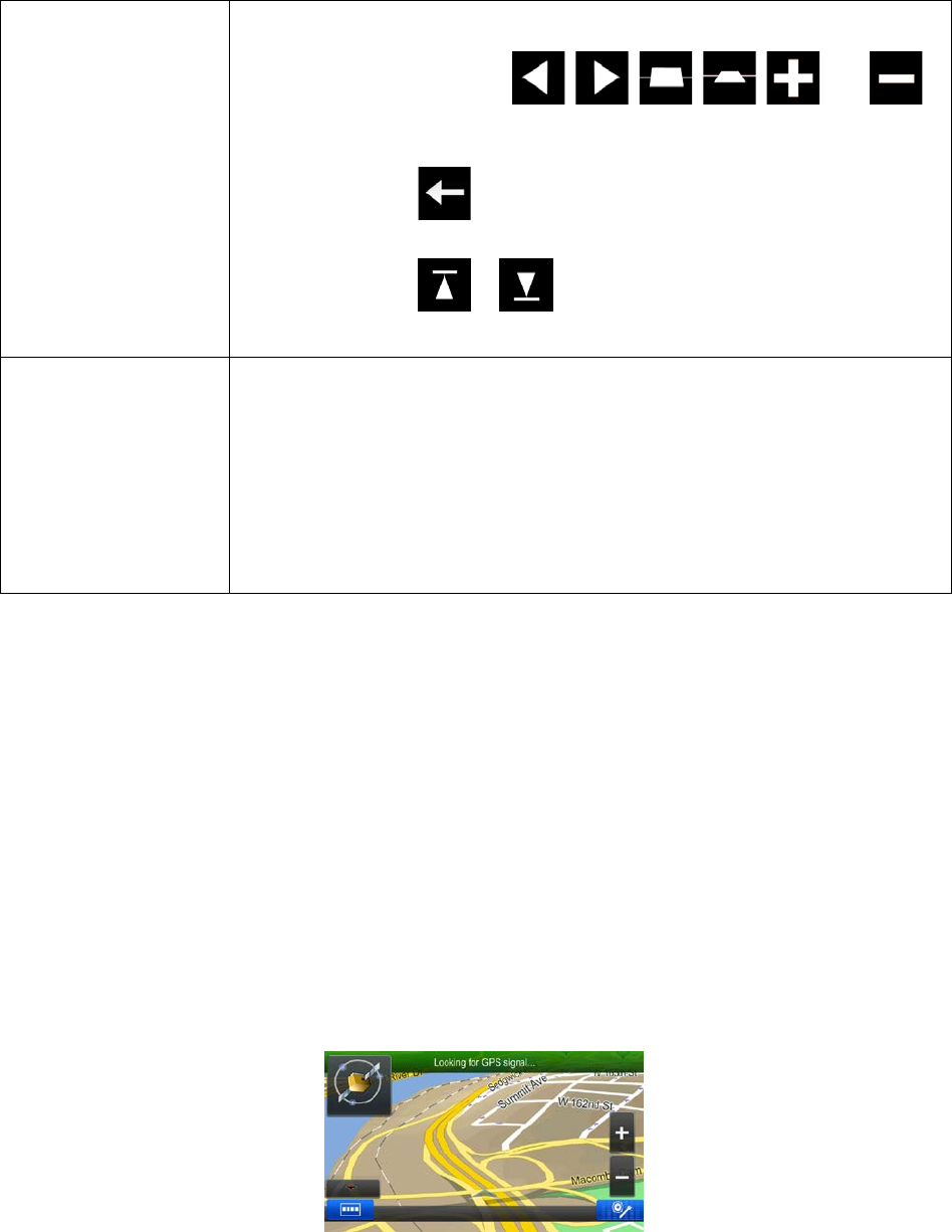
• Tap and hold any of the
, , , , , and
buttons on the Map screen: you can rotate, tilt or scale the map
continuously.
• Tap and hold
on keyboard screens: you can delete several
characters quickly.
• Tap and hold
or in long lists: you can scroll pages
continuously.
You need to drag and drop the screen only in cases like:
• Moving the handle on a slider.
• Scrolling the list: grab the list anywhere and slide your finger up or down.
Depending on the speed of the sliding, the list will scroll fast or slow, only
a bit or till the end.
• Moving the map in map browsing mode: grab the map, and move it in the
desired direction.
2.2 Map screen
2.2.1 Navigating on the map
The Map screen is the most frequently used screen of the software.
It shows the current position (the Vehimarker, a blue arrow by default), the recommended route (an
orange line), and the surrounding map area.
When there is no GPS position, the Vehimarker is transparent. It shows your last known position.
You see colored dots circling around a satellite symbol in the top left corner. The more green dots you
see, the closer you are to get the valid GPS position.
When GPS position is available, the Vehimarker is displayed in full color, now showing your current
position.
11


