


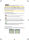
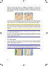
x other colours may not appear with a built-in GPS. Should any of
these appear, this means a faulty operation of your device.
Note: When the GPS connection cannot be established with the last used
parameters (protocol, port and speed), iGO keeps on trying to connect. To save the
battery power in cases when you use iGO without a GPS, iGO first tries to open the
port in every few seconds, but later only twice every minute. If you later switch on the
GPS, the connection is still established without any user action but the repeated
attempts will not run the battery down.
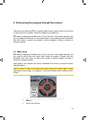
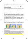
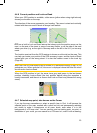
4.3.3 GPS data quality indicator
In the top left corner there is a satellite dish to show the quality of the GPS position.
Different colours represent different signal quality:
x black with a red cross means there is no connection with the GPS device.
This should never be the case if your device has a built-in GPS.
x red means the GPS is connected but no GPS position is available,
x yellow means 2D reception. A GPS position has been acquired, iGO is ready
for navigation, but the GPS is using enough satellites for calculating the horizontal
position only. Elevation data is not provided, and the position error may be
significant.
x
green means 3D reception. The GPS receiver has enough satellites to
calculate altitude. Position is generally correct (yet it can still be inaccurate due to
different environmental factors). iGO is ready for navigation.
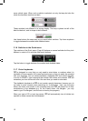
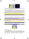
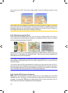
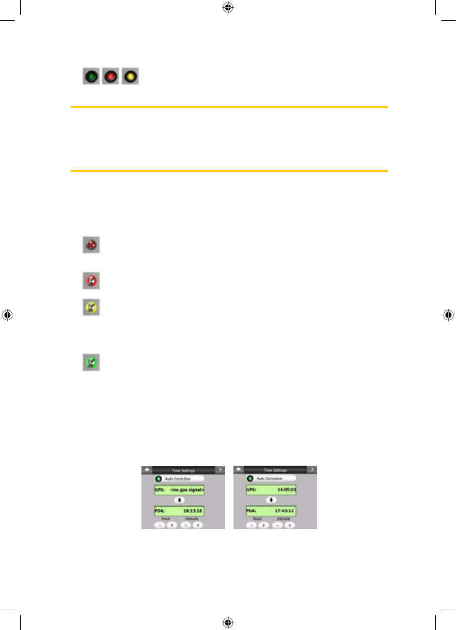
4.3.4 Time synchronization
In the top right corner of the screen you have another button that leads to a new
screen where you can synchronize the clock of your PNA to the very accurate time
provided by the connected GPS.
18
GNS
GNSGNS
GNS
GNS