5. Use freeways — Creates a route which uses freeways where possible.
Route calculation
Once the route criteria is selected, the navigation system automatically
calculates a route to the selected destination. The route appears on the
display screen and a voice prompt provides instructions.
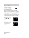
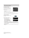
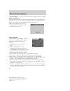
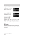
This screen will appear for a few
seconds while the navigation system
is calculating your route.
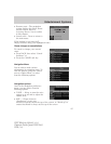
Please proceed
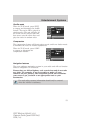
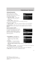
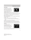
Once the route is calculated, “Please
Proceed” is displayed with a map on
the display. Also included in the
display:
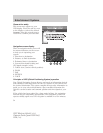
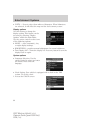
• the planned route is shown in
pink
• parts of the planned route
containing incomplete map data
are highlighted in “cautionary” yellow
• major roadways are shown in blue
• other streets are shown in white
• your vehicle location is shown as a pink/yellow triangle
• the arrow at the foot of the screen points to your destination
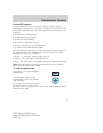
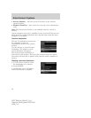
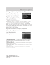
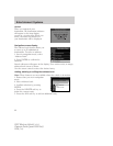
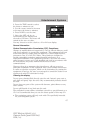
You are able to choose from three viewing options in this display:
• PLAN — Press this soft key to scroll through your entire route. This
option is only available prior to beginning the journey.
• PAN — Press this soft key, then use the cursor control to pan up,
down, left or right on the map. This option is only available when the
vehicle is not in motion.
• ZOOM — Press this soft key multiple times (or use the cursor input)
to select the desired zoom level on the map. The zoom level is shown
at the bottom of the screen.
2007 Mariner Hybrid (mhv)
Owners Guide (post-2002-fmt)
USA (fus)
Entertainment Systems
60


