


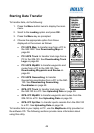

54
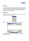
Specify the location to save the geocaching file and click Save.
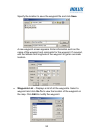
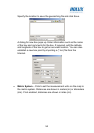
A dialog for new box pops up. Enter information such as the name
of the box and comments for the box. If required, edit the latitude
and longitude of the box to get an accurate location. You can also
establish a new box point by importing a (*.loc) file from the
Internet.
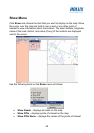
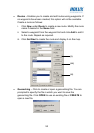
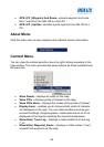
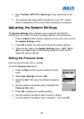
• Metric System – Click to set the measurement units on the map to
the metric system. Distances are shown in meters (m) or kilometers
(km). If not enabled, distances are shown in miles (mi).