


27
Reference
Map Page Cursor
and Zooming
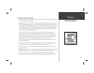
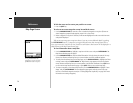
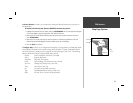
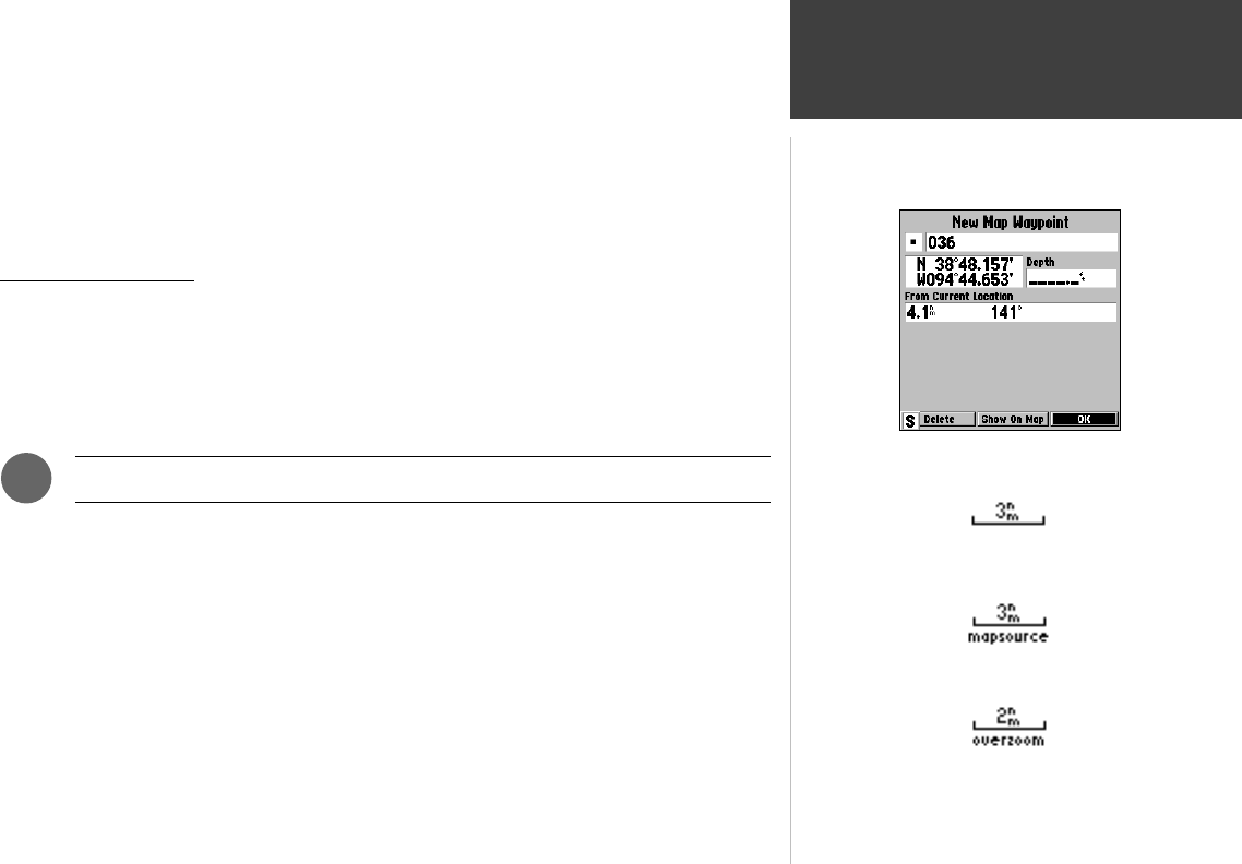
3. To change the waypoint symbol, name or position coordinates, or enter a depth, use the ARROW
KEYPAD to select the desired fi eld, then press ENTER/MARK. Make your changes and press
ENTER/MARK again to accept the changes.
4. When you are fi nished making changes, or to accept the waypoint using the default 3-digit name
and symbol, highlight the ‘OK’ button and press ENTER/MARK to save the new waypoint.
For more information, see “Creating Waypoints” on page 38.
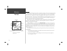
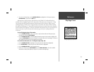
Selecting Map Scales
The map display has 28 available range scales from 20 ft. to 800 mi. (6 mt. to 1200 km). The
map scale is controlled by the IN and OUT keys, with the current scale displayed at the bottom
right of the data window.
To select a map scale:
1. Press the OUT key to zoom out and the IN key to zoom in.
The scale value represents the distance from one end of the scale bar to the other.
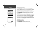
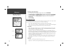
The GPSMAP 162’s system has a built-in worldwide database to 20 mi, with more detailed
coverage available through the use of the optional MapSource software. The GPSMAP 162 will display
cartography as long as there is chart information available for the range you’ve selected. Map coverage
will conform to the following conditions:
• When the selected zoom range is covered by either the internal database or MapSource data,
cartography will be displayed.
• When the selected zoom range is covered by both the internal database and MapSource data,
cartography will be displayed using the data with the best resolution.
• When the selected zoom range exceeds the resolution of the data in use, overzoom cartography
will be displayed and an ‘overzoom’ warning will appear below the scale fi eld.
F
Using Built-In Basemap
Using MapSource Data
Overzoom, no additional data
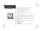
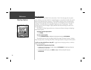
Creating a New Map Waypoint