


5
eTrex Legend C
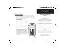
Getting Started
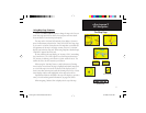
Initialization & The Satellite Page
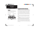
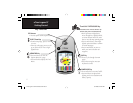
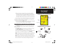
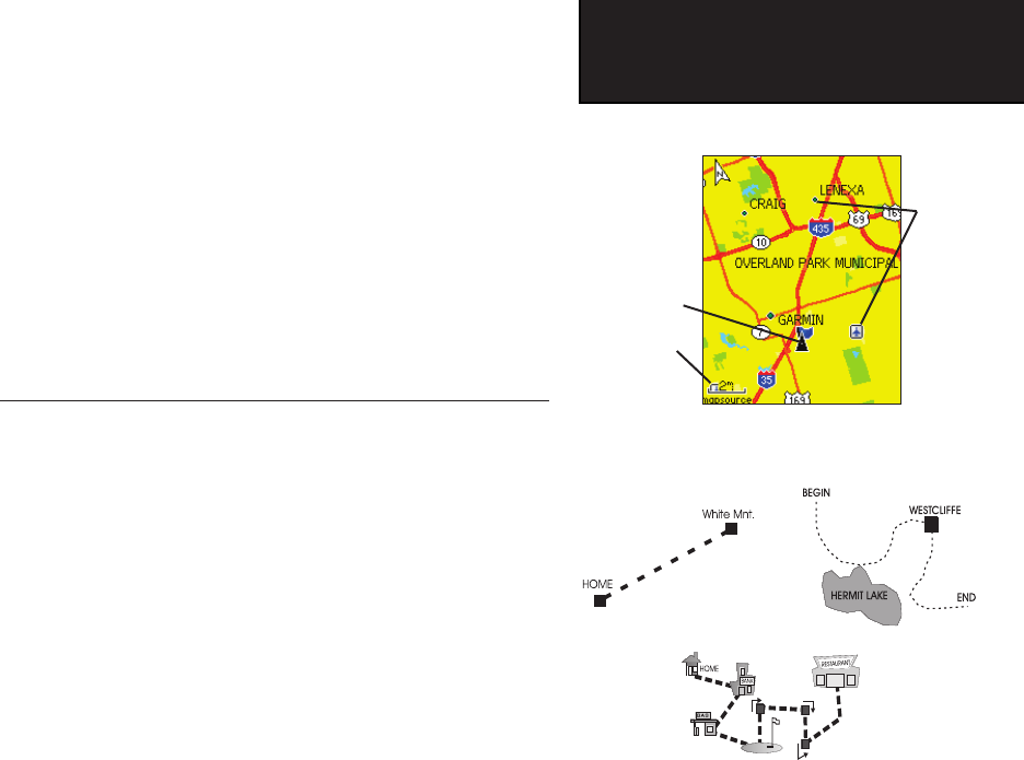
Map Page with Current Position Arrow
4. When the receiver has signals from at least three satellites,
the display at the top of the page changes to indicate position
accuracy and location coordinates. The Status Bar at the
top of
the display indicates the GPS status and status of other
features.
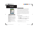
If, for any reason, you have diffi culty initializing your eTrex Legend C,
the solution could be as simple as moving slightly to avoid objects that
are blocking or defl ecting the satellite signals.
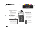
5. Press and release the QUIT key until the Map Page is displayed.
You are now ready to begin GPS-aided navigation.
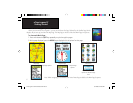
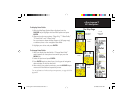
Active Navigation is supported by three of the Main Pages:
The Map Page graphically shows your current location, marks your
route to a destination with a route line, and leaves a trail (track log) of
where you’ve been.
The Compass Page indicates direction to go and direction of travel.
The Trip Computer Page records and displays travel data.
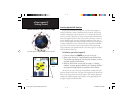
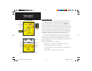
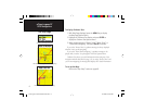
There are three methods of navigating to a destination when using the
eTrex Legend C, each graphically displayed on the Map Page.
Go To -
A direct path to a selected destination (waypoint, city, address, etc.).
Track - A previous path of travel that has been stored (logged) in the
eTrex Legend C. A Track allows you to repeat a path or retrace the path.
Route - A path to a destination consisting of intermediate stops along
the way (waypoints, cities, exits, points of interest, intersections, etc.).
Refer to the sections on Tracks, Routes and Waypoints for details.
Map Scale
Position
Arrow
Map Item
Details
Navigating with eTrex Legend C
A Go To
A Track
A Route
eTrex Legend C Owner's Manual Text.indd 5 8/12/2004, 9:23:37 AM