


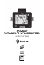
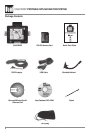
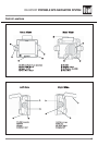
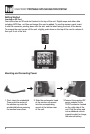
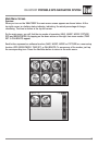
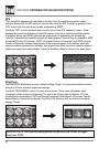
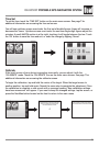

XNAV3500P PORTABLE GPS NAVIGATION SYSTEM
Introduction to your Navigation System
As you travel, your navigation system functions as your co-pilot, providing turn-by-turn visual
and voice assistance to direct you to your selected destination. Because the system knows
where you are and where you want to go, it can quickly calculate step-by-step directions that
provide a route to any destination available on the included navigation map. The map includes
millions of roadway and mapping destinations, and pre-programmed point of interest (POI)
locations in several different categories. Simply enter your desired destination into your
navigation system, and its advanced intelligence does the rest.
With your navigation system, if you deviate from the planned route, the navigation system will
automatically recalculate the route to determine a new one from your current location.
The navigation system uses Global Positioning System (GPS) satellites, and a digital roadway
map database to calculate and display travel directions. The system’s GPS antenna receives
signals from a constellation of 24 satellites orbiting the earth and uses the strongest of
signals to determine your position to within meters. The navigation system’s sophisticated
software provides the highly accurate positioning necessary to provide real-time, accurate,
turn-by-turn route guidance.
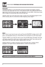
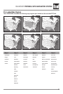
Vehicle Position
The navigation system’s computer considers vehicle speed and heading changes, together
with longitude and latitude information, to accurately determine vehicle heading and
position on a digital map. This information is relayed to you as you proceed to your selected
destination through audible suggestions, turn symbols, and the on-screen map.
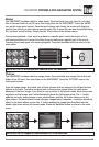
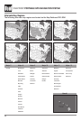
Signals from GPS satellites are used to determine the vehicle location. Three (good) or four
(best) satellites must be received to accurately determine location. The GPS reception status is
indicated by the GPS satellite indicator on the map. See the GPS indicator section on page 16
for more information.
Map and Information Database
The map database used by your navigation system was created using high-resolution aerial
and land based data collection and is stored on a memory card. This data is enhanced with
useful travel information, such as freeway signage and approximately two million points of
interest locations in several different categories, such as tourist attractions, gas stations,
airports, and restaurants. While the database was judged to be as accurate as possible at
the time of its release, a map database can never be 100% accurate. Road information that is
maintained in the map databases, such as turn restrictions or road names, may change over
time. In addition, points of interests, such as restaurants, hotels, and gas stations, also change
over time. The complexity of keeping this directory current means that some information may
be missing or out-of-date at times.
3