


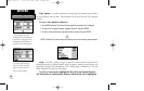
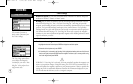
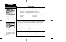
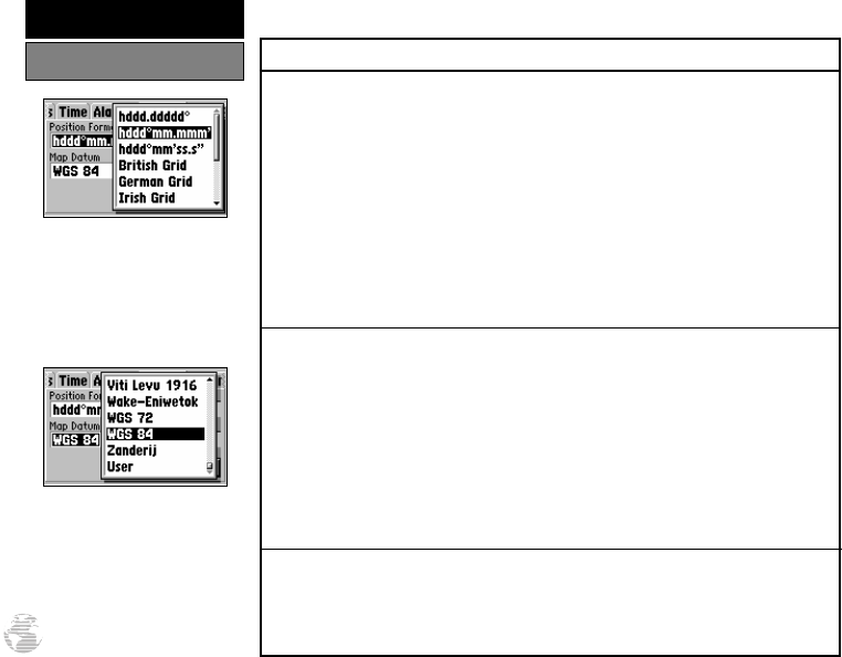
Position Settings
Position Format is used to change the coordinate system in which a given position
reading is displayed. The default format is latitude and longitude in degrees and minutes
(hddd°mm.mmm’). The following additional formats are available:
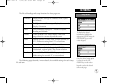
• hddd.ddddd° — latitude/longitude in decimal degrees only
• hddd°mm’ss.s” — latitude/longitude in degrees, minutes, seconds
• UTM/UPS — Universal Transverse Mercator / Universal Polar Stereographic grids
• British Grid • German Grid
• Irish Grid • Swedish Grid
• Swiss Grid • Taiwan Grid
• Maidenhead
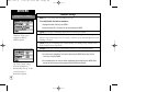
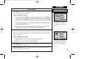
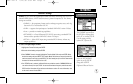
Map Datum allows you to select the datum reference used to determine where a given
position is. The default setting is ‘WGS 84’. Although over 100 datums are available (as
listed on page 82), you should only change the datum if you are using a map or chart
that specifies a different datum. If no datum is specified, you may select each datum
applicable to your region until you find the datum that provides the best positioning at a
known point.
WARNING: Selecting the wrong map datum can result in substantial position errors.
When in doubt, use the default WGS 84 datum for best overall performance.
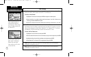
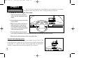
To change the position format and/or map datum:
1. Highlight the ‘Position Format’ or ‘Map Datum’ field and press ENTER.
2. Select the desired setting (using the rocker keypad) and press ENTER.
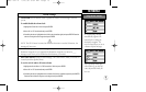
Only the latitude/longitude,
UTM/UPS and Maidenhead
settings apply worldwide. The
additional grid settings are
only valid for a specific region.
Over 100 different datums
are provided to allow the GPS
III to correspond to various
paper charts/maps. Use WGS
84 unless your chart specifies
otherwise.
74
REFERENCE
Setup Menu: Position
!
GPS III A 7/21/98 8:52 AM Page 74