


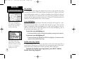
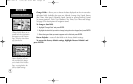
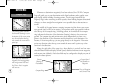
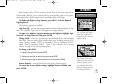
To measure bearing and distance between two points:
1. Highlight ‘Measure Dist’ and press ENTER. An on-screen pointer will appear on the
map display at your present position.
2. Move the cursor to the desired reference point (the point you want to measure from)
and press ENTER.
3. Move the cursor to the point you want to measure to. The bearing and distance from
the reference point will be displayed at the top of the page.
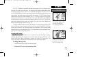
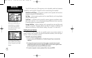
Restore Defaults— resets all data fields to the factory default settings.
To restore the factory default settings, highlight ‘Restore Defaults’ and
press ENTER.
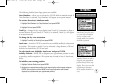
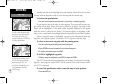
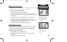
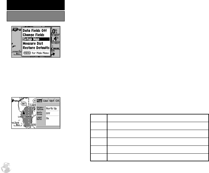
Setup Map— allows you to configure the map display to your preferences,
including map orientation, automatic zoom, lat/long grid, track and route detail,
background detail and waypoint names. The map setup option uses a ‘file tab’ fea-
ture, making it easier to organize the various settings and easier for you to use. The
following table lists the file tabs and the settings available under each tab:
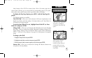
Map Orientation, AutoZoom, Land Data
Line Track Log, Active Route Lines, Lat/Long Grid
Wpt All Waypoints, Waypoint Text, Active Route Wpts
City Large/Medium/Small Cities and Text
Road Freeway, Nat’l Highway, Local Highway, Local Road
Other States/Prov, Rivers/Lakes, Metro Areas, Railroads
NOTE: Large cities are those with approximate populations greater than 100,000. Medium cities
are those with approximate populations over 5,000.
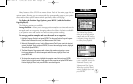
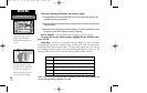
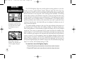
‘Setup Map’ allows you to
change map orientation,
background map detail, text
size, etc.
The map settings are orga-
nized by a series of ‘file tabs’.
Use the rocker keypad to
select the desired tab, and to
select the desired setting(s).
36
REFERENCE
Map Page Options
GPS III A 7/21/98 8:51 AM Page 36