


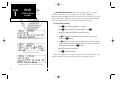

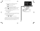

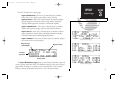
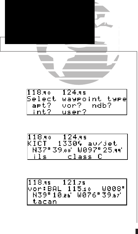
Airport Position Page
VOR Position Page
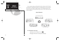
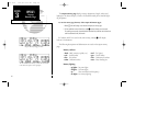
Waypoint Menu Page
The GNC 250 organizes waypoints into one of five waypoint categories for your
convenience. Each waypoint category provides different types of detailed information
for a selected facility:
• Airports - Identifier, city/state, country, facility name, position (lat/lon),
elevation, fuel services and communications frequencies.
• VORs - Identifier, city/state, country, facility name, position (lat/lon),
frequency, magnetic variation, co-located DME or TACAN and weather
broadcast indication.
• NDBs - Identifier, city/state, country, facility name, position (lat/lon),
frequency and weather broadcast indication.
• Intersections - Identifier, country, position (lat/lon), nearest VOR.
• User - Identifier (name), position (lat/lon), reference waypoint.
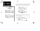
To view the waypoint information for a desired waypoint, select the waypoint
category from the waypoint menu page.
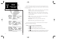
To choose a waypoint category (for viewing information):
1. Press
W
and rotate
O
to display the waypoint menu page.
2. Press
C
twice and rotate
O
to highlight the desired waypoint category.
3. Press
E
to accept the waypoint category. The waypoint identification or position page
for the selected category will appear with the waypoint identifier field ready for entry.
34
REFERENCE
Airport Runway
Information
SECTION
3
WPT KEY
Waypoint Categories
& Menu Page
250 real 7/14/98 9:32 AM Page 34