


GPSMAP 192C Owner’s Manual 7
BASIC OPERATION > USING THE MAP POINTER
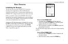
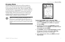
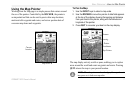
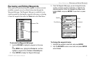
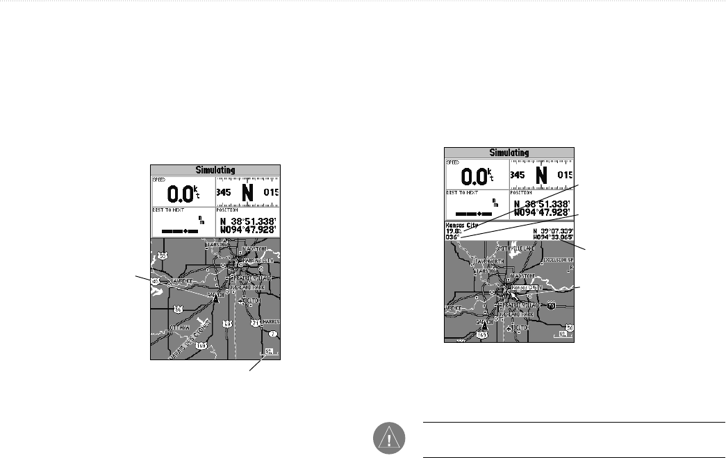
Using the Map Pointer
Working from the Map page is a simple process that centers around
the use of the pointer. Controlled by the ROCKER, the pointer is
an important tool that can be used to pan to other map locations,
mark and edit waypoints and routes, and review position data of
on-screen map items and waypoints.
Current
location
Map Scale
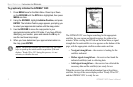
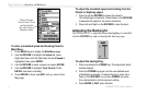
To Pan the Map:
1. Use the IN/OUT keys to select a map scale.
2. Use the ROCKER to move the pointer. A data field appears
at the top of the display showing the bearing and distance
from your boat to the pointer, along with the latitude and
longitude of the pointer.
3. Press QUIT to re-center your boat on the map display.
Map Pointer
Pointer
Coordinates
Bearing
Distance
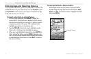
The map display actively scrolls or pans, enabling you to explore
areas around the world and create waypoints and routes. Pressing
QUIT returns the map to your present location.
NOTE: When the pointer reaches the edge of the map, the unit
may pause as it loads new map data.