


GPSMAP 76 Owner’s Manual 55
MAIN MENU > SETUP MENU
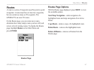
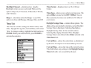
Location Format—contains 31 different formats, such
as Loran TD, MGRS, and Maidenhead. You should not
need to change the format unless you are using a chart
or paper map for navigation. If so, find the format that
most closely matches your chart. See Appendix
“Loran TD” for for more information.
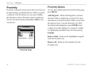
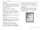
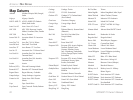
Map Datum—describes geographic positions for
surveying, mapping, and navigation. Although there are
over 100 datums available to choose from, you should
only need to change the Map Datum if you using a
chart or paper map that specifies a different datum
in the legend. Refer to Appendix “Map Datums” for
definitions.
User Datum— allows you to define a grid for a
location format. You must have the Longitude Origin,
Scale, False Easting, and False Northing to create the
user grid.
For more information on grids and datums, we
recommend that you visit the National Imagery and
Mapping Agency at http://www.nima.mil
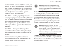
WARNING: Selecting the wrong map datum
can result in substantial position errors. When
in doubt, use the default WGS 84 datum for best
overall performance.
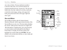
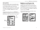
North Reference—lets you select the reference used
in calculating heading information. True provides
headings based upon a true north reference. Grid
provides headings based on a grid north reference.
User allows you to specify the magnetic variation at
your current location, and provides magnetic north
heading references based on the value you entered.
WARNING: If User is selected, you must
periodically update the magnetic variation at your
present position. Failure to update this setting
may result in substantial differences between the
information displayed on your unit and external
references, such as a magnetic compass.
Magnetic Variation—displays the magnetic variation
at your current location. This field is only available if
User is selected for the North Reference, and is used to
enter the magnetic variance.