


36 nüvi 1200/1300/1400 Series Owner’s Manual
Using FM Trafc
Trafc in Your Area
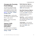
Whenyouarereceivingtrafc
information, a trafcicon appears
in the upper-left corner of the Map
page. The trafciconchangescolor
toindicatetheseverityoftrafc
conditions on your route or the road
you are currently travelling.
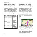
Color Description Meaning
Green Low severity
Trafc is
owing
normally.
Yellow
Medium
severity
Trafc is
slightly
congested.
Red High severity
Trafc is
heavily
congested
or stopped.
Trafc on Your Route
When calculating your route, the
nüviexaminesthecurrenttrafcand
automatically optimizes the route
for the shortest time. If a severe
trafcdelayoccursonyourroute
while you are navigating, the nüvi
automatically recalculates the route.
You might still be routed through
trafcifnobetteralternativeroutes
exist.
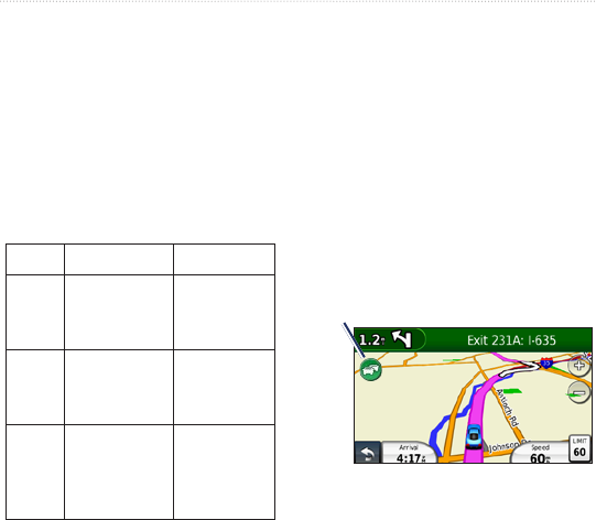
Trafc icon
If a non-severe trafcdelay occurs
on your route, touch the trafc icon
to display a tab that shows how much
time the delay has added to your
route. This time is already included
in your estimated arrival time.