


3. PLOTTER OPERATION
3-14
3.5.4 C-MAP cards
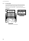
Cursor and data display
Besides its fundamental functions of providing position data, the cursor can also
show caution area, depth area, source of data, etc. on C-map charts. In addition,
you can display information about an icon by placing the cursor on it.
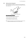
1. Press the cursor pad to turn the cursor on.
2. Use the cursor pad to place the cursor on the position desired.
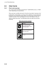
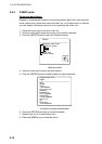
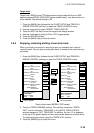
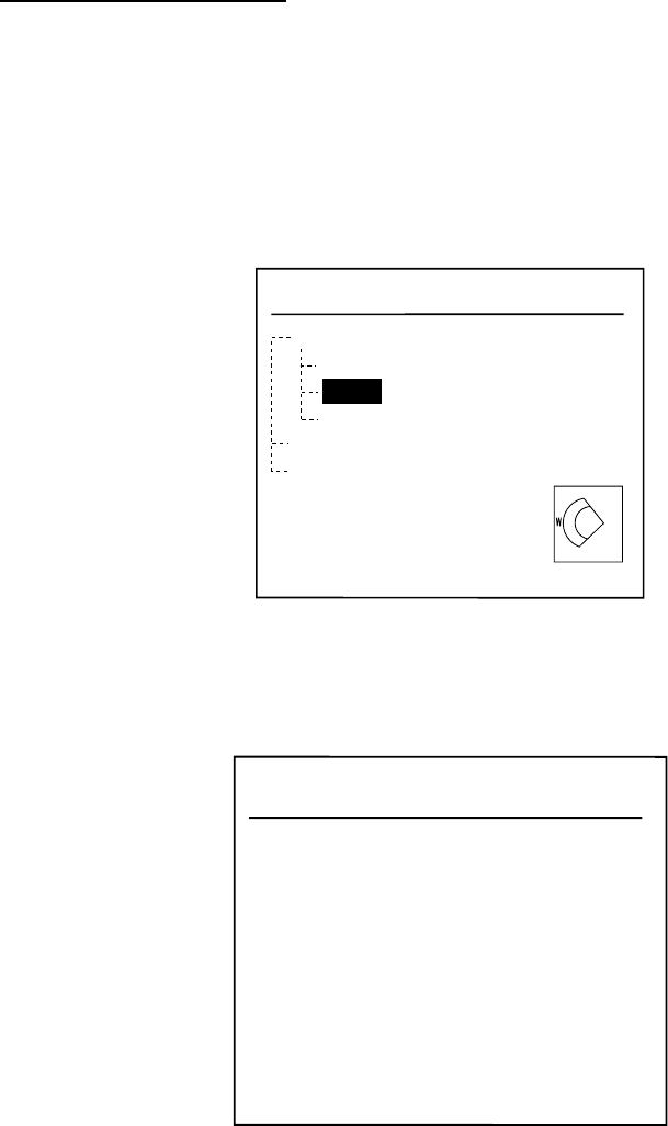
3. Push the [ENTER] knob to open the Objects window.
Objects
Navigation mark, fixed
Beacon, generic
Light
Light
Depth area
Source of data
Objects window
4. Use the cursor pad to select the item desired.
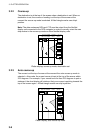
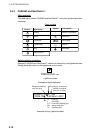
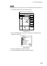
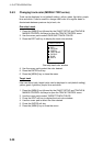
5. Push the [ENTER] knob to display details for object selected.
Navigation Mark, fixed
Light
Color
White
Height
12.0 Meters
Light characteristic
flashing
Sectorlimit one
64.0 Degrees
Sectorlimit two
138.0 Degrees
Signal group
(3)
Signal period
10.0 Seconds
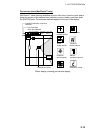
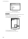
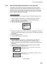
Example of caution area window
6. Press the RETURN soft key to close the window.
7. Repeat step 4 to 6 to select other item.
8. Press the [MENU] key to close the menu.