


English
Owner’s
Manual
24 NP401
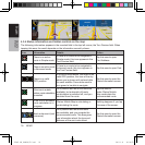
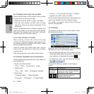
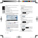
4.4.3Daytimeandnightcolorproles
Clarion Mobile Map uses different color profiles
during the day and during the night.
•Daytimecolorsaresimilartopaperroadmaps.
•Thenightcolorprolesusedarkcolorsforlarge
objects to keep the average brightness of the
screen low.
Clarion Mobile Map offers different daytime and
night color profiles. It can also switch automatically
between the daytime and the night schemes
depending on the illumination setting.
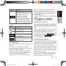
4.4.4Colorschemeintunnels
When entering a tunnel, the colors of the map
change. All buildings disappear, large objects (such
as surface waters or forests) and empty areas
between roads become black.
However, roads and streets keep their original
colors from the daytime or night color scheme
currently used.
After leaving the tunnel, the original colors return.
4.4.5Routecalculationandrecalculation
Clarion Mobile Map calculates the route based on
your preferences:
•Routecalculationmethod:
1·Fast. 2·Short. 3·Economical. 4·Easy
•Vehicletypes:
1·Car. 2·Taxi. 3·Bus. 4·Emergency vehicles
•Roadtypes
1·Unpaved Roads. 2·Permit Needed.
3·Freeways. 4·Toll Roads. 5·Charge Roads
6·Ferries. 7·Cross-border Planning. 8·Carpool
(appears only when used in the USA)
Clarion Mobile Map automatically recalculates the
route if you deviate from the proposed itinerary.
For further information about Route Planning
options, (see page 66).
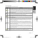
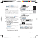
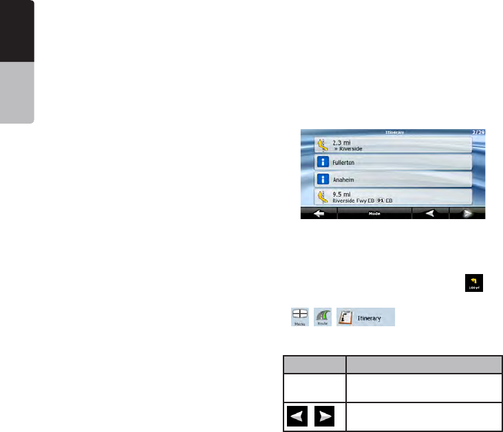
4.4.6Itinerary
The Itinerary is the list of the route events, that is,
the driving instructions.
When you are on the Map screen, you can display
the Itinerary in one of the following ways:
•TaptheareabetweentheTurnpreviewandthe
Travel data fields where the symbol of the second
next maneuver is displayed (for example
).
•InAdvancedmode,tapthefollowingbuttons:
, , .
You have the following options on the Itinerary
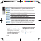
screen:
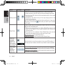
Button Description
Any of the
list items
Opens the map with the selected
maneuver in the middle.
,
Moves between pages for
additional list items.
NP401 OM_100920_EN.indd 24 2011-1-6 16:10:54