


23Magellan Meridian GPS Receiver
Reference
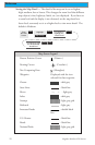
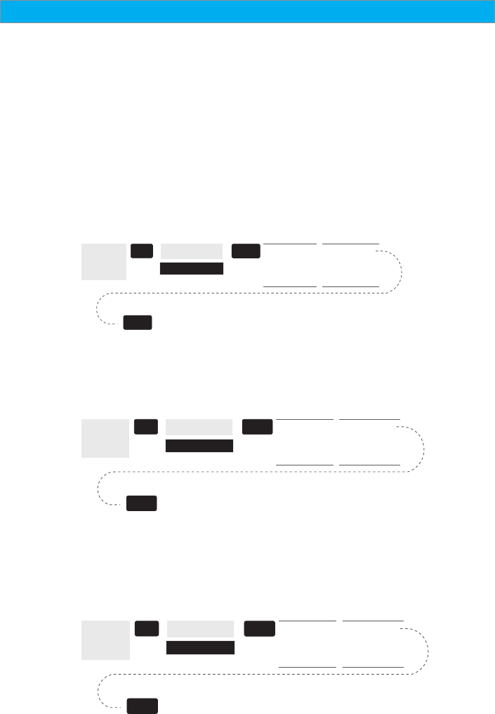
CUSTOMIZING THE MAP DISPLAY — The Map screen can be customized
for your individual needs and requirements. You can select what is being
displayed on the map as well as what additional data will be presented at
the bottom of the screen. Customization is broken into two parts; what
items are displayed on the map and what data fields (if any) are
displayed at the bottom of the screen.
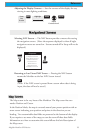
Selecting Map Items
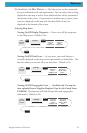
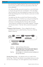
Tu rning On/Off Display Waypoints — Turns on or off the waypoints
on the Map screen. Default is On.
From
the MAP
Screen
MENU
Highlight
Map Setup
Use L/R
arrows to
select
“Display” tab
ENTER
Use U/D
arrows to
select
“Waypoints”
ENTER
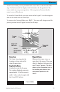
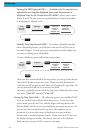
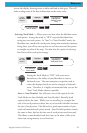
Tu rning On/Off Track Lines — As you move, your track history is
normally displayed on the map screen represented by a dashed line. This
function allows you to turn off or on these lines. Default is On.
From
the MAP
Screen
MENU
Highlight
Map Setup
Use L/R
arrows to
select
“Display” tab
ENTER
Use U/D
arrows to
select “Track
Lines”
ENTER
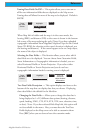
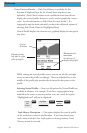
Tu rning On/Off Topographic Lines — [Available only if a map has
been uploaded from a Magellan MapSend Topo for the United States
CD-ROM] This function will hide all topo lines and topographic
information. Default is On.
From
the MAP
Screen
MENU
Highlight
Map Setup
Use L/R
arrows to
select
“Display” tab
ENTER
Use U/D
arrows to
select “Topo
Lines”
ENTER