


- 6 -
Working with the map
The
system
gives
you
many
ways
of
looking
at
the
map. You
can
see
your
current
position,
you
can
view
any
of
the maneuvers
on
a
route,
and
you
can
pan
the
map
to
view
other areas.
You
can
zoom
in
and
out,
and
you
can
find
information about
specific
locations.
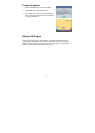
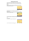
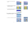
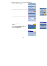
Map view
If
you
have
a
GPS
signal,
the
map
view
on
the
system shows
you
your
current
location,
indicated
by
a
green
arrow.
If
the arrow
is
red,
you
do
not
have
a
GPS
signal,
and
if
the
arrow
is yellow
the
GPS
signal
is
weak.
At
the
bottom
of
the
map
is
a
scale
indicating
your
current
zoom level.
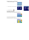
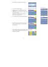
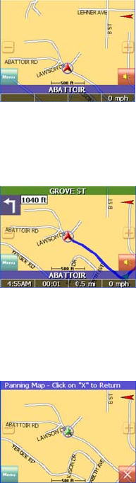
Maneuver detail
If
you
have
set
a
destination,
the
map
displays
additional information.
As
you
navigate
to
a
destination,
the
top
of
the
map displays
the
name
of
the
next
street,
the
direction
of
your
next turn
and
the
distance
to
that
turn.
At
the
bottom
of
the
map
you
see
the
time,
an
estimate
of
how much
time
before
you
arrive
at
your
destination,
the
remaining distance
to
your
destination,
and
your
current
speed.
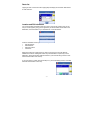
Panning
the
map
You
can
pan
the
map
by
tapping
and
dragging
the
map.
To
return
to
the
regular
map
view,
press
the
“X” button.