


NAVMAN 8120/8084 Fuel, AIS, & Radar Addendum2
Warning
AIS: The AIS features on this chart-plotter are designed as a safety aid only and do not
guarantee safety at sea. AIS transmission is mandatory on some, but not all, vessels. AIS
should be used to complement radar, but AIS is not a substitute for radar.
Notes
• AIS and Radar functions require optional accessories to be installed.
• Radar is available in 2 kW, 4 kW, 6 kW units.
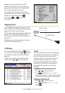
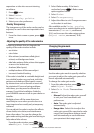
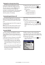
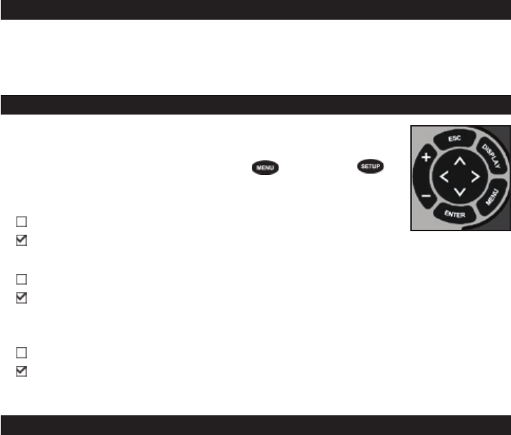
• The setup menu can be opened by pressing
twice (8084) /
(8120) then select System
:
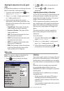
Sonar
Disable any sonar transducer and disable sonar functions.
A sonar transducer is fitted. Enable sonar operation.
Radar
No appropriate Radar system is fitted. Disable RADAR.
An appropriate Radar receiver is fitted.
Enable Radar.
AIS
No appropriate AIS receiver is fitted. Disable AIS.
An appropriate AIS receiver is fitted.
Enable AIS.
Appendix
8084 Size: 190 mm (7.48“) H x 285 mm (11.22“) W x 76.8 mm (3.02“) D. Allow 3 mm
clearance on each side for dust cover.
8084 Display: 213.4 mm (8.4”) diagonal, TFT color, 800 x 600 pixels.
CPA - Closest Point of Approach. The closest distance two vessels will come to each
other based on their current course and speed.
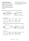
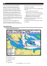
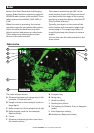
Radar guard zone - An area around the boat, set up by the operator and defined by
distance and bearing. If an object (e.g. another boat) enters the radar guard zone, an
alarm is activated.
Rain clutter - Heavy rain or snow can cause interference with the radar image.
Range (radar) - The distance between the centre of the radar image and the outer range
ring. The scale is shown in the top left corner of the radar window.
Range rings - Concentric circles extending from your boat (usually at the centre of the
radar window) and used to estimate distances to objects. The scale is shown in the top
left corner of the radar window.
Route - Two or more waypoints linked in sequence to form a course for the boat.
Sea clutter - Rough seas can cause interference with the radar image.