


15
Pages
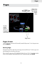
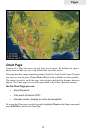
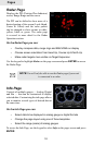
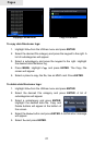
Chart Page
Consists of a Map that moves in real time as you move. By default, the map is
shown from a birds-eye view with North at the top of the screen.
This page has three map orientation options (North Up, Track Up & Course Up) and
two ways to view the map: 2D and Shaded Relief (only available on select models).
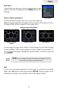
The cursor is used to scroll the map, select objects and nd the distance between
objects. The Chart page is covered in more detail in the Chart Operation section.
On the Chart Page you can:
Save Waypoints•
Find points of interest (POI)•
Navigate routes; navigate to cursor and waypoints•
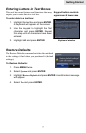
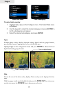
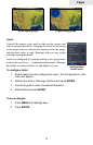
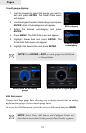
To access the Chart page, use the keypad to highlight Chart on the Pages menu and
press ENTER to access the Chart Page.