


GNS 530(A) Quick Reference
MAP PAGE
12
190-00181-01 Rev. G
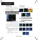
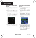
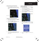
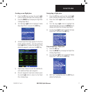
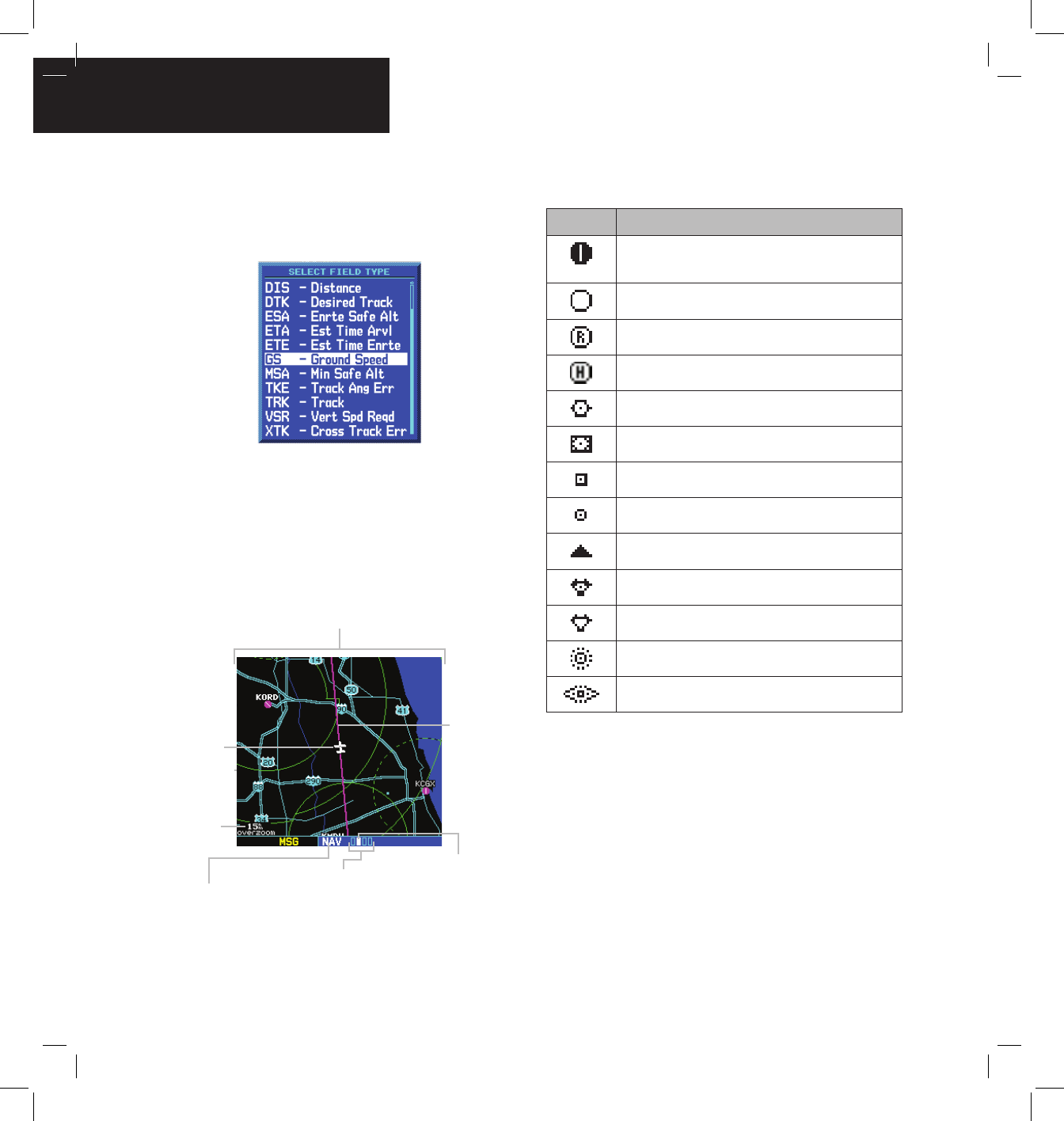
4) Turn the small right knob to display the list
of available data items. Continue turning the
small right knob to select the desired data
item from the list.
5) Press the ENT Key to select the desired data
item and return to the Default NAV Page.
6) Press the small right knob momentarily to
remove the cursor from the page.
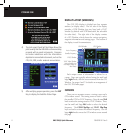
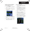
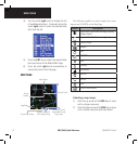
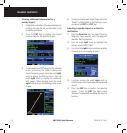
MAP PAGE
Present
Position
Desired Track
Map Range
Map Display
Current Page Group
Number of Pages in
Current Page Group
Position of Current
Page within Current
Page Group
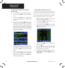
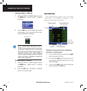
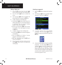
The following symbols are used to depict the various
airports and NAVAIDS on the Map Page:
Symbol Description
Airport with hard surface runway(s); (primary
runway shown)
Airport with soft surface runway(s) only
Private Airfield
Heliport
VOR
VOR/DME
DME
Localizer
Intersection
VORTAC
TACAN
NDB
Locator Outer Marker
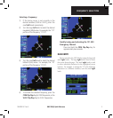
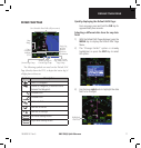
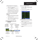
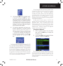
Selecting a map range:
1) Press the up arrow of the RNG Key to zoom
out to a larger map area.
2) Press the down arrow of the RNG Key to zoom
in to a smaller map area and more detail.