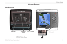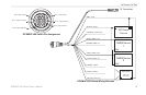
GPSMAP
®
400 Series Owner’s Manual 13
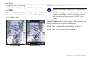
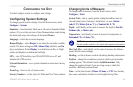
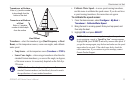
uSInG chartS
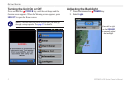
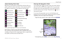
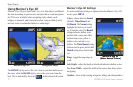
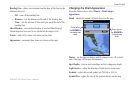
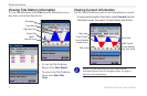
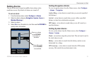
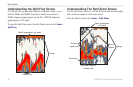
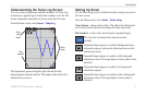
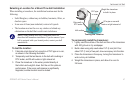
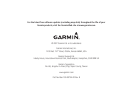
Using Fish Eye 3D
Using the depth contour lines of the BlueChart g2 Vision
cartography, Fish Eye 3D provides an underwater view of the sea
oororlakebottom.
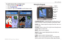
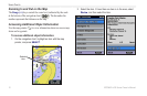
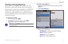
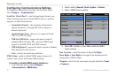
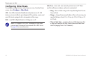
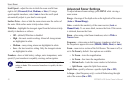
Fish Eye 3D Settings
To access additional settings
or options for the Fish Eye 3D,
screen, press MENU.
Sonar Cone—turn a cone on or
off that shows the area covered by
your transducer.
Sonar Data—visually show
the sonar readings received
by your transducer for the
best combination of sonar and
mapping. The setting is either on
or off.
Tracks—turn the track log on or
off.
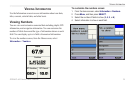
Numbers—showorhidecruising,navigation,orshingnumberson
the chart.
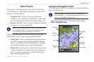
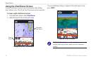
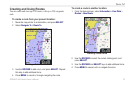
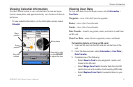
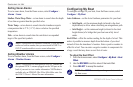
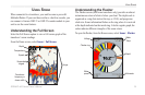
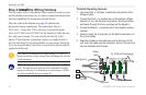
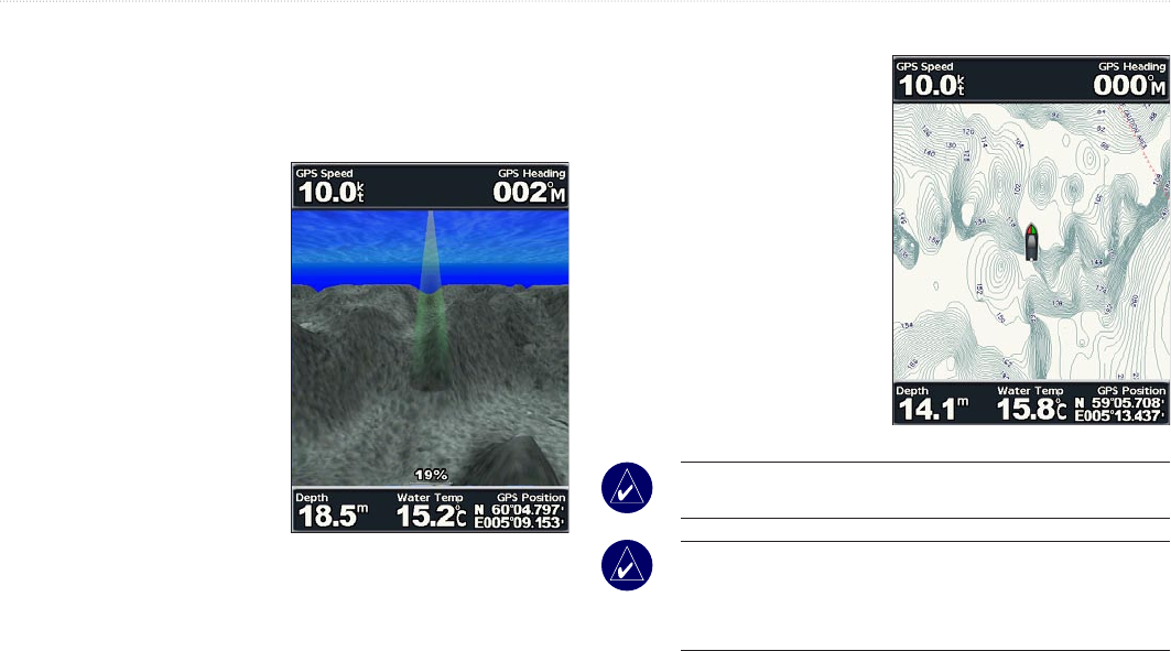
Using Fishing Charts
Usetheshingchartfora
detailed, unobstructed view of
the bottom contours and depth
soundings on the chart.
Theshingchartusesdetailed
bathymetric data on the
BlueChart g2 Vision SD card,
and works best for offshore
deep-seashing.
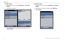
To view the shing chart,
from the Home screen select
Charts > Fishing Chart.
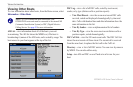
NOTE: An optional BlueChart g2 Vision preprogrammed SD card
foryourregionisneededtoviewdetailedshingcharts.
NOTE: Because the detailed bathymetric information used
bytheshingchartisrecordedspecicallyforoff-shore
applications,theshingchartisnotavailableonthe
GPSMAP 430/430s/430x/430sx (inland) units.