


EN
7
NOTE If no key has been pressed in any 5 minute period,
the compass will time out and return to Altimeter mode
(default display).
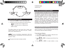
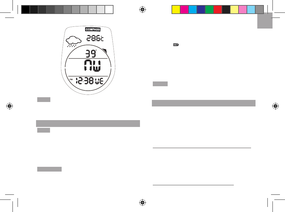
COMPASS SENSOR CALIBRATION
NOTE
• Always take bearings in the open air, not inside
buildings, tents, caves, or other shelters.
• Compass readings should be performed away from
magnetic materials. Avoid large magnetic objects,
power lines, loudspeakers, electric motors etc.
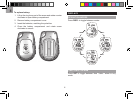
IMPORTANT Compass calibration should be done on a flat
horizontal surface. If there is no flat stable surface available,
place it on the palm of your hand so that it is perpendicular to
your body. Using the other hand, turn the unit to calibrate.
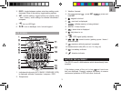
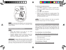
To calibrate the compass sensor:
1. Press
DISP/- repeatedly to navigate to compass mode.
2. Press and hold
SET. Display will show CALI and smart
prompt .
3. Press
SET to start calibration.
4. Rotate the unit clockwise at a constant speed. The
moving segments around the circumference of the
display act as a guide. The rotation will be finished once
you have performed 2 turns.
NOTE OK indicates calibration has been successfully
completed. Repeat steps 2-4 if FAIL is displayed.
DECLINATION ANGLE
Declination is the angle between where a compass needle
points (magnetic North Pole) and the true North Pole. The
declination angle can vary from 0-30 degrees East (E)
or West (W) and can be found on most maps or on the
Internet.
For declinations in the United States:
http://www.ngdc.noaa.gov/geomagmodels/Declination.jsp
1. Enter your zip code in the text box.
2. Click “Get Location”.
3. Scroll down and click “Compute”.
For declinations in Canada:
http://geomag.nrcan.gc.ca/apps/mdcal-eng.php