


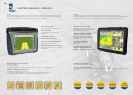
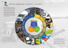
NEW HOLLAND PLM –
AN INTRODUCTION TO GPS
MAXIMISE YIELDS, CONTROL INPUT
COSTS + OPTIMISE PROFITS
WHAT IS GPS?
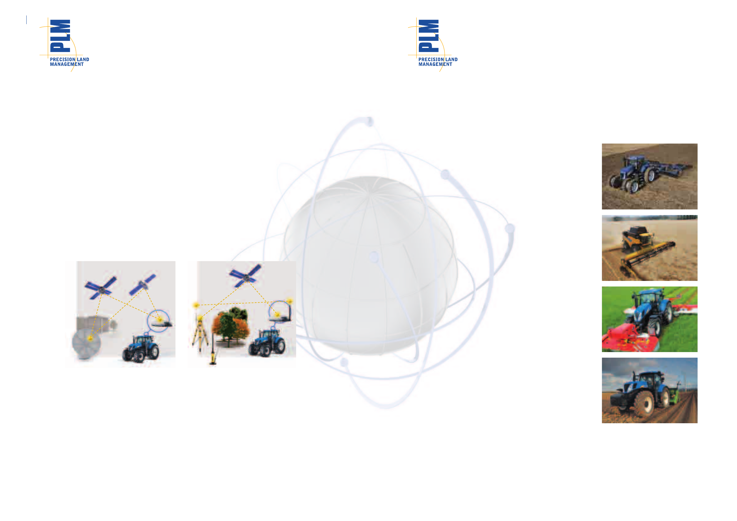
The GPS (Global Positioning System) operated by the U.S department of Defence and GLONASS operated by the
Russian Federation are a space-based navigation system formed from a network of satellites which determine the
position of a vehicle using signals from the 32 satellites that circle the earth. These satellites travel in known orbits that
allow a land based receiver to determine its own position in relation to each satellite from which it receives a signal.
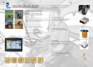
The GPS antenna fitted to the machine receives continuous signals from the GPS satellites. Ground based GPS
receivers, at known locations across the country, receive the same signals. As their absolute location is known, they can
calculate the real time position and send a position correction signal. Geostationary satellites then return the correction
signal to the GPS receiver on the vehicle, and the correction can be applied to the received position.
The signals generated by GPS alone are not accurate enough for use in agriculture. Therefore, corrections must be
made to GPS signals to improve their accuracy. With these correction signals we refer to the system as DGPS
(Differential Global Positioning System).
There are two main DGPS correction services available today:
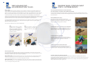
REDUCE OPERATIONAL COSTS
The primary purpose of New Holland’s Precision Land
Management is to save fuel and input costs by ensuring parallel
passes when working either in straight lines, curves, pivots or on
undulating ground minimising skips and overlaps.
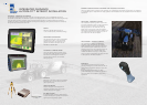
IMPROVE PRODUCTIVITY, EVEN IN DUSTY CONDITIONS
When planting, spraying, cultivating or harvesting in difficult
weather conditions or at night, the operator can focus on his task
without any risk of overlap or joining rows while driving faster.
INCREASE OPERATOR’S COMFORT
Operators using guidance solutions often report “being less
fatigued and stressed” as one of the fundamental advantages of
precision farming, leading to increased work rates and
efficiency.
CONTROLLED TRAFFIC FARMING PRACTICES
With RTK enabled New Holland guidance systems the practice
of Controlled Traffic Farming can be adopted, leading to a
significant reduction in field compaction improving overall yields.
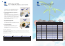
HOW ACCURATE IS GPS?
An uncorrected GPS or GLONASS signal gives you position accuracy between 5 to 10 meters. This is more than
adequate for car navigation systems, but not accurate enough for vehicle guidance in agricultural applications, where
we need Pass-to-Pass and Year-to-Year accuracy and repeatability.
Pass-to-Pass accuracy measures the relative accuracy over a 15 minute interval. This is usually thought of as skip/
overlap from one pass to the next when driving swaths. A New Holland receiver with pass-to-pass accuracy of
+/-2.5 cm means you get less than +/-2.5 cm skip or overlap, 95% of the time.
Year-to-Year accuracy is the measure of repeatable accuracy which means that you can drive the same rows a day,
week, month, or year later. So, +/- 2.5 cm year-to-year accuracy means you can drive the same rows next year within
+/- 2.5 cm of this year’s rows, 95% of the time.
2 3
CHOOSE A SIMPLE AND VERSATILE SOLUTION
For your new purchases of New Holland Machines, we offer factory installed fully integrated guidance solutions.
For all makes and models of equipment of your existing fleet, we provide a full range of leading aftermarket solutions for
GPS-based guidance, from entry-level to high end.
Regardless of your farm operation, the brands of your machines and your budget, this precision farming brochure will
help you determine which system is right for you.
WHY GPS GUIDANCE? BENEFITS OF VEHICLE GUIDANCE
GIVE YOUR BUSINESS A COMPLETE AND FLEXIBLE GPS SOLUTION
From the enhanced productivity of lightbar guidance, to the pinpoint accuracy of fully integrated guidance, and the
valuable analysis of yield data, our Precision Land Management offering will help maximise yields, control input costs
and optimise profits.
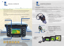
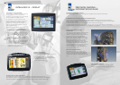
SBAS
The GPS (Global Positioning System)
operated by the U.S department of
Defence and GLONASS operated by
the SBAS-Satellite Based Augmentation
System,communicate difference via
geostationary satellite.
RTK
Real Time Kinematics, communicate
difference directly to the vehicle via
short wave radio from a local base
station.