3. (If necessary) Click the type of file you wish to transfer in the File Type: list. All files on
your CMT GPS data collector of the selected type will be displayed.
4. Click the files you wish to receive or click the Select All button to receive all files listed.
5. Click the Receive button. You will see activity on both the computer screen and the GPS
screen.
6. When file transfer is complete, click the OK button OR if you are transferring Job files, you
will be given the option to open the files, go directly to differential correction or transfer
additional files.
On the CMT GPS data collector:
Press F5 (QUIT) to return to the Main Menu if it does not return automatically.
[Troubleshooting: If you see a “percent done” screen on the GPS unit, but nothing seems to happen, you
probably have either i) connected the cable to the wrong COM ports. Press the ESC key to quit the file
transfer, then connect to a different port and try again.]
The unit automatically transfers the almanac at the end of every transfer session. You may be
asked whether you want to overwrite ALM.ASH. It is always acceptable to overwrite it.
Converting your data to ArcView shapefiles
1. In the PC-GPS 3.7 software, go to File, Open, and select the job file (*.ftr) that you just
transferred. If you have multiple features contained in a single job file (as will usually be
the case) the software will load them as separate themes.
2. Select your coordinate system. The bottom right of the screen will show you what the
current coordinate system is (i.e. the coordinate system the data was collected in). Most
Wisconsin data is in the WTM83/91 coordinate system, so if you want your GPS locations to
‘line up’ with other data in ArcView, you must change the coordinate system: Go to Map >
Coordinate System, select User Defined, and choose WTM83/91.
3
Make sure that the ZONE
= Wisconsin and that UNIT = Meters. If it does not, change it then press OK.
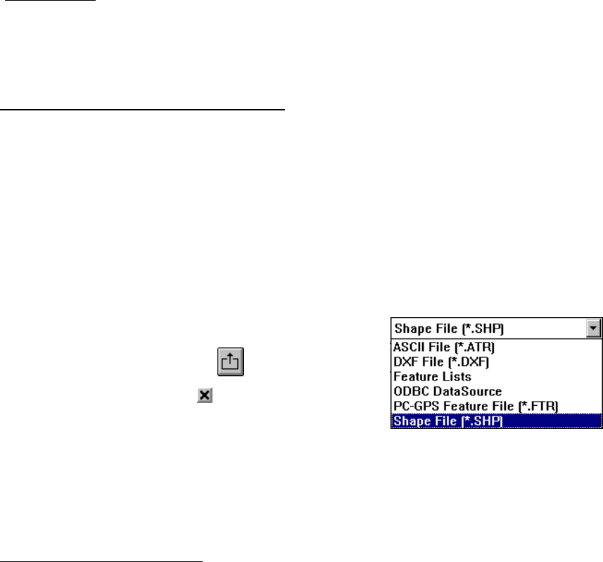
3. From the drop down menu on the main screen of the
PC-GPS software (see right), select Shape File. Then
press the Export button:
4. Use the check mark boxes on the next screen to
identify which themes you wish to export and press
OK. It will export the shape file to the same folder
that contains the job file.
5. You can now close the PC-GPS software, open ArcView and load the themes you just
exported.
3
If WTM83 is not listed on your computer, you will need to define it yourself. Click on Edit Coordinate
System. Coordinate System Name: WTM83. Zone Name: WI. Projection: Transverse Mercator. Datum:
WGS84. The parameters are:
Central meridian: 090
o
00’00.0000”W
False northing: -4480000
False easting: 520000
Lat of false origin: 00
o
00’00.0000”N
Scale factor: 0.9996
6
