


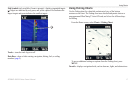
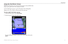
Where To?
GPSMAP 400/500 Series Owner’s Manual 25
2. Select an option.
• Select or the name of the waypoint to view details of objects in
the vicinity of the cursor. (The button is only shown when more
than one waypoint is in the vicinity.)
• Select to navigate to the selected location.
• Select to mark a waypoint at the cursor location.
• Select to view tide (page 36), current (page 36), celestial
(page 37), chart notes, or local services information near the cursor.
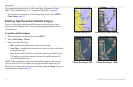
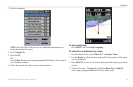
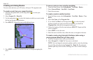
From the Navigation chart, use the map pointer ( ) to highlight the object
on the Navigation chart and press > . The
measurement information appears in the lower-right corner of the screen.
Use the to move the pointer and measure the distance to other
locations. Select > to remove the measuring line.
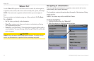
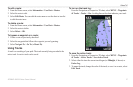
From the Home screen, select > >
> . You can then sort the list by name, by symbol, or by distance
from your current location. You can also lter the list by name or symbol.
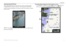
1. From the Navigation chart, use the map pointer ( ) to highlight the
waypoint or the MOB on the Navigation chart.
OR
From the Home screen, select > > .
2. Select the waypoint or the MOB you want to delete.
3. Select > (the button is only shown when you have
selected a waypoint on the Navigation chart and more than one waypoint is
in the vicinity).