


60 GPSMAP 400/500 Series Owner’s Manual
Using XM WX Weather and Audio
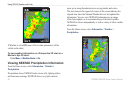
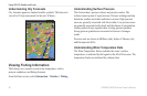
Understanding City Forecasts
City forecasts appear as standard weather symbols. The forecast is
viewed in 12-hour increments for the next 48 hours.
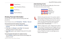
Viewing Fishing Information
The Fishing view contains current water temperature, surface
pressure conditions, and shing forecasts.
From the Home screen, select Information > Weather > Fishing.
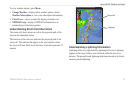
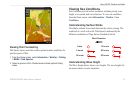
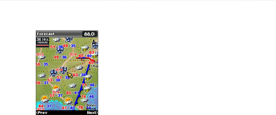
Understanding Surface Pressure
This feature shows pressure isobars and pressure centers. The
isobars connect points of equal pressure. Pressure readings can help
determine weather and wind conditions in an area. High-pressure
areas are generally associated with fair weather. Low-pressure areas
are generally associated with clouds and the chance of precipitation.
Isobars packed closely together show a strong pressure gradient.
Strong pressure gradients are associated with areas of stronger
winds.
Pressure units are shown in Millibars (mb), Inches of Mercury (in),
and Hectopascals (hPa).
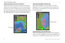
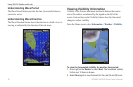
Understanding Water Temperature Data
The Water Temperature feature indicates the water’s surface
temperature, as indicated by the legend on the left of the screen. The
temperature breaks are indicated by isotherm lines.