


GPSMAP 400/500 Series Owner’s Manual 13
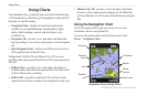
Using Charts
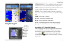
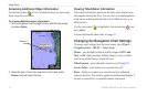
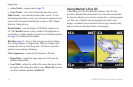
Weather—sets up and displays various weather parameters,
including precipitation (NEXRAD), cloud cover, visibility, WX
buoys, and the weather legend. Sea temperature and sh species can
be displayed on the Fishing chart (page 19).
The Weather feature is only available if the chartplotter is
connected to a weather module and you have an XM
®
subscription).
See page 55 for additional information.
NOTE:
If Weather is set to Off, none of the weather options will
be visible on the chart.
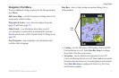
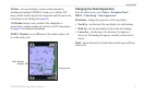
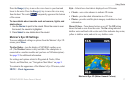
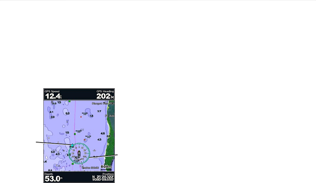
Wind direction
indicator
Compass rose
Changing the Chart Appearance
From the Home screen, select Charts > Navigation Chart >
MENU > Chart Setup > Chart Appearance.
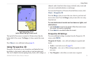
Orientation
—changes the perspective of the map display.
North Up
—sets the top of the map display to a north heading.
Head Up
—sets the map display to the current track heading.
Course Up
—sets the map so the direction of navigation is
always up. The heading line appears vertically on the screen if
shown.
Detail
—adjusts the amount of detail shown on the map at different
zoom levels.
•
•
•