


EN
7
DETAILED DESCRIPTION
This chapter describes the functions of your Personal Navigation Device in detail. On the
following pages you will learn how to
- Use the map (see page 7)
- Find and choose locations (see page 9)
- Navigate to your destination (see page 19)
- Use the route planner (see page 22)
- Configure the application (see page 24)
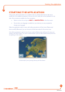
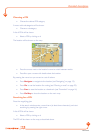
Using the map
The map is the core component of your Personal Navigation Device. It will be centred on
your current location by default, provided you have a GPS connection. You can browse the
map, display information about the different locations shown on it and e.g. choose them for
routing and navigating.
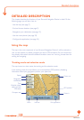
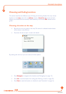
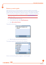
Tracking mode and selection mode
The map knows two basic states, the tracking and the selection mode.
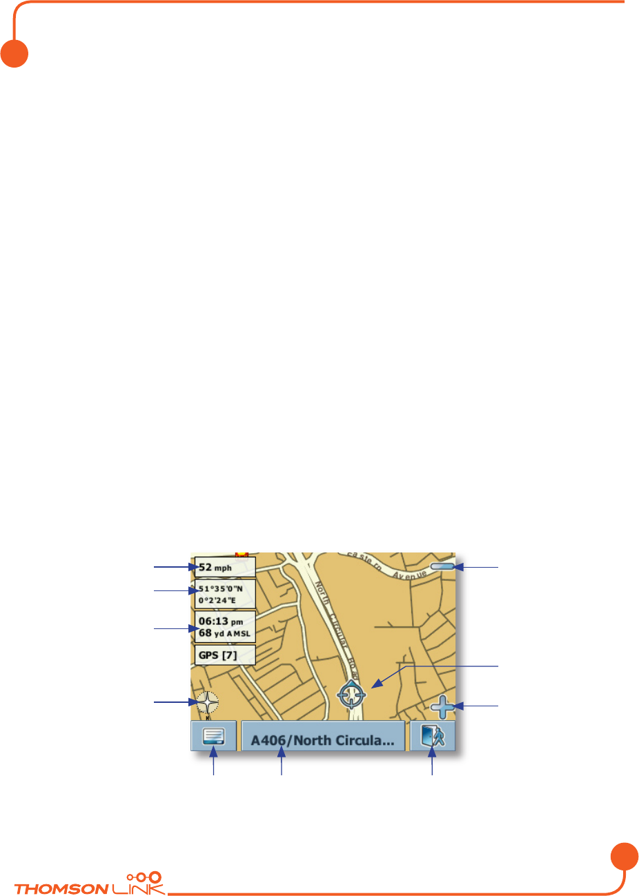
In the tracking mode,
the map follows your actual position (GPS position), displaying
information about your geographic position, your speed, etc:
Speed
Geographic
coordinates
Time
Elevation abo
ve
meain sea level
GPS status
Compass rose
Men
u
Zoom out
GPS position
Zoom in
Exit applicationInf
o box
Detailed description
Edition 2006