


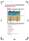
12 Navionics Platinum Chart Card - User’s Guide
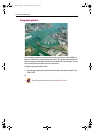
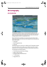
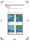
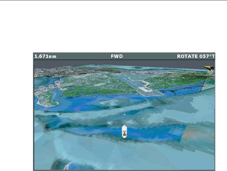
3D Cartography
An introduction
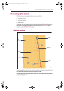
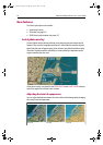
3D cartography introduces an easy-to-use chart format that provides you with a
graphical view of land and sea contours around your boat. Land masses are shown in
green, the shade depending on the height above sea level. Water, the sea-bed and
submerged objects are shown in varying shades of blue.
Much of the information available on a conventional chart can be shown in three
dimensions, giving you an accurate easy-to-view image of the area around your boat
that can help you plan:
• Fishing spots.
• What fishing pattern to use.
•Safe routes.
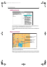
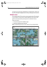
If the area that you are in is new to you, or visibility is poor, 3D cartography can help to
give you the confidence to know where you are and what is around you. As with a
conventional chart, active waypoints and routes can also be shown on the 3D chart.
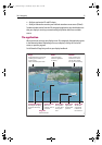
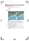
3D cartography has the following features:
• Choice of operating modes; Active or Planning.
• Ability to change view point.
• 360
o
degree rotation of the selected view.
•1
o
- 90
o
pitch angle.
• Exaggerate the view.
D8042_1
81259_1_NGC.book Page 12 Wednesday, July 27, 2005 11:51 AM