


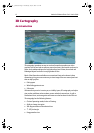
2D Chart Enhancements 9
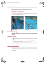
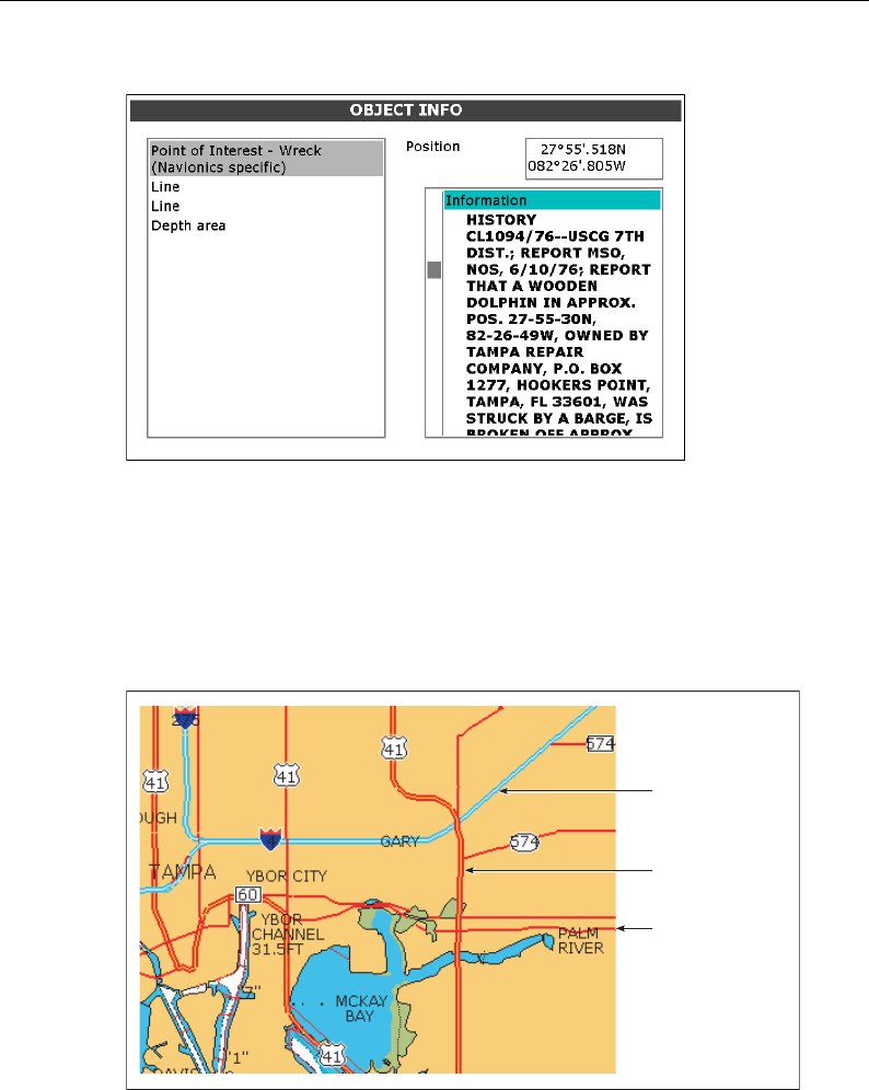
Additional wrecks
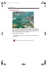
Navionics Platinum cartography provides details of wrecks that you would find on a
paper chart together with detailed data for additional wrecks.
To display additional information about the object, select the wreck on the Object Info
screen.
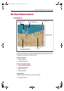
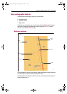
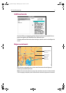
Major coastal roads
With Platinum cartography you can view coastal interstate and state highways,
motorways and other major roads.
Note:
If the aerial overlay feature (see page 10) is switched on and set to Land and Sea Mode
in the Cartography Setup Menu, these roads will fade as the level of opaqueness is decreased.
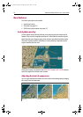
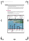
D7929_1
Interstate highway/
Motorways
State highway/
Major roads
Highways/
Minor roads
D7919_1
81259_1_NGC.book Page 9 Wednesday, July 27, 2005 11:51 AM