


Chapter 4: Using the Chartplotter 71
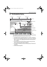
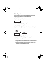
4. Use the trackpad to select the desired category.
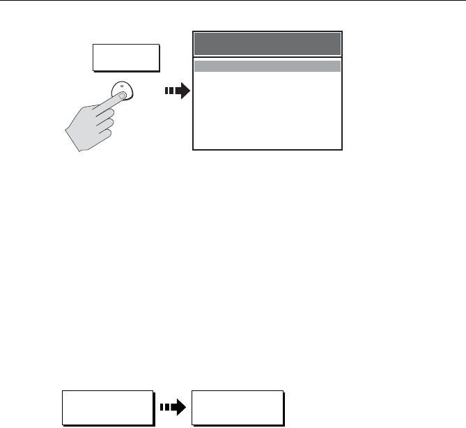
5. Press FIND. The nearest objects to the cursor in the selected category are dis-
played.
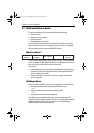
6. You can now use the soft keys to:
• Display detailed data for any of the listed objects. For ports, you can select
a specific service and for a selected port service you can find the nearest
ports.
• Show the selected item on the chart.
• View tidal data for the selected tide station.
Note:
A complete list of port services and tidal information can be found on page 99.
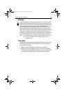
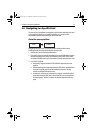
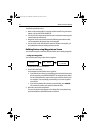
Simplifying the Information on the Chart (Declutter)
If there are a large number of cartographic objects in a particular area, you can
reduce the amount of detail by decluttering the chart display. Turning on Declutter
hides the following cartographic objects:
•Text
• Chart boundaries
• Spot soundings
• Depth contours
• Light sectors
• Caution & routing information
• Land and marine features
For more information on changing the appearance of the chart and cartographic
data, see “Chart Setup“ on page 29.
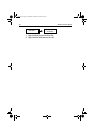
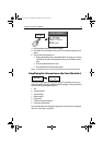
PORTS
PORT SERVICES
TIDE STATIONS
CURRENT STATIONS
WRECKS
OBSTRUCTIONS
FIND NEAREST
FIND
NEAREST
D9837-1
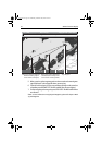
FIND NEAREST
D9838-1
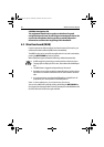
PRESENT
...
DECLUTTER
ON OFF
81295.book Page 71 Wednesday, December 20, 2006 2:48 PM