


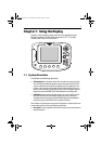
Chapter 1: Using the Display 13
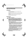
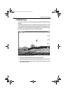
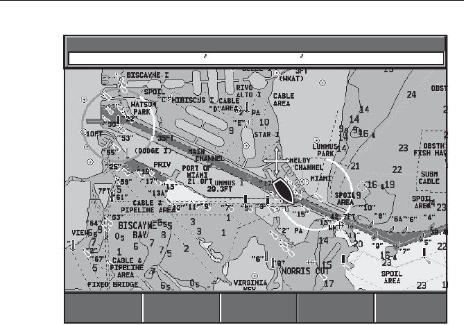
Using the chartplotter you can carry out such functions as:
• Monitor the course of your vessel on the chart as you travel to a destination
• View detailed cartographic information including ports and tides (if available)
• Place, display and edit waypoints
• Navigate to a position using cursor position, waypoints and routes, manually
or using an autopilot (if installed)
• Set up a route that can be followed
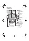
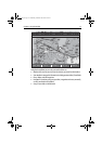
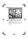
12nm North-Up (Relative Motion)
Csr Pos N 25°18.160 W 080°19.397
250°T
0.67nm
D9787-1
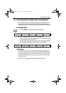
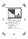
GOTO
...
GOTO.
..
TRACKS
...
TRACKS.
..
PRESENT
...
PRESENT
...
FIND SHIP
FIND SHIP
ROUTES
...
ROUTES.
..
81295.book Page 13 Wednesday, December 20, 2006 2:48 PM