


25
Whether driving in a car, hiking on the trail, or out
for an afternoon sail, you are going to want to save
places you’ve been in your eXplorist so that you can
go back to them in the future. This is the
fundamental starting point for any GPS navigator.
Saving these places is called “Marking Your
position” or just MARK for short. The saved
positions are called points of interest, or just POIs.
(You may have heard the term “waypoints” to
describe marked positions. Waypoints and points of
interest are identical.)
There are two types of POIs in your eXplorist 200:
POIs that you have marked (saved) and POIs that
have been stored in your eXplorist as part of the built-in background map. These two classes
of POIs are accessed from the same MENU option and can be used independently or
combined to create routes.
Marking Your Position
The most common way of adding POIs to the database will be to mark your present position.
There are two levels of marking your position. The first that will be described will be quick-
marking your position. The second method provides you with the means to personalize POIs
you are saving.
Quick Marking Your Position
This saves your present position in the database using mark-
position defaults.
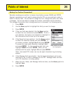
1. Press MARK.
2. Press ENTER.
Note: If a position fix is not being computed or if only a 2D
position fix (no elevation information) is being computed, a
warning will be displayed asking you to confirm that you still
want to save this position.
When you save a 2D position fix you will notice that even
though elevation was not computed, that a elevation value is
included as part of the POI. This elevation is the last elevation that was computed by
the eXplorist.
Tip:
Later in this manual you will see a way to modify the icon, name, and message of
positions you have quick-marked.
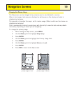
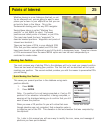
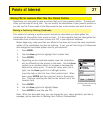
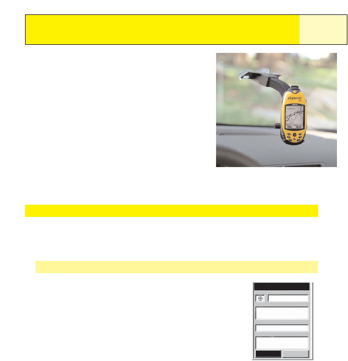
Mark
Cancel
CREATE MESSAGE?
Message
Elevation
Location
Icon Name
F
T
924
34°06.560N
117°49.566W
Save
POI001
Sample Mark Screen
Points of Interest