


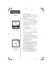
20
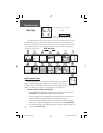
To use Setup Map options:
1. Select ‘Setup Map’ from the Options Menu and then
press IN on the CLICK STICK to display the Map
Setup Page.
2. Press UP or DOWN on the CLICK STICK to high-
light the desired sub-page button, which will display
the options list for that sub-page to the left.
3. Press LEFT (Pressing RIGHT will return you to the
sub-page buttons), then UP or DOWN on the
CLICK STICK to highlight a feature on the list and
press IN on the CLICK STICK to display the options
list for that feature. Pressing RIGHT will return you
to the sub-page buttons.
4. Use the CLICK STICK to highlight the desired
option and then press it IN to activate.
5. Press the PAGE button or the on-screen ‘X’ button
to return to the Map Page.
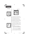
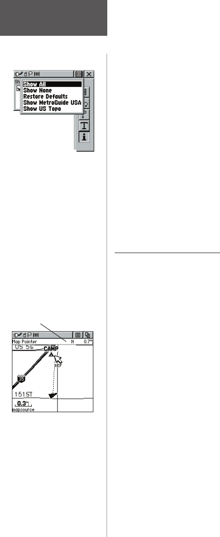
Measure Distance option
To use the Measure Distance option:
1. Select ‘Measure Distance’ from the Options Menu
and then press IN on the CLICK STICK to display
the Panning Arrow. You will see ‘Ref’ under the
arrow.
2. Use the CLICK STICK to move about on the Map
Page until you reach the point to which you want to
measure. A new ‘Map Pointer’ field displays show-
ing the location of the pointer and the direction and
distance from where you began the measuring.
3. To begin measuring from a different point, press IN
on the CLICK STICK from the desired location.
4. To stop measuring, press the PAGE key.
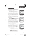
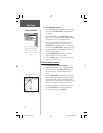
Map Page
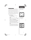
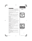
Setup Options
If you have more than one
type of MapSource data
loaded, you can quickly
choose to show one or the
other.
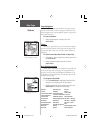
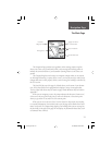
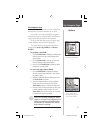
Measuring distance.
Map Pointer Field
rino120_10.indd 20 9/13/2002, 3:27:45 PM