


GPSMAP 400/500 Series Owner’s Manual 21
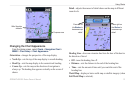
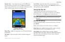
Using Charts
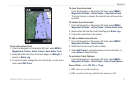
Detailed Road and POI Data
BlueChart g2 Vision contains detailed road and points of interest
(POI) data, which includes highly detailed coastal roads and
POIs such as restaurants, lodging, local attractions and more. For
instructions on searching for, and navigating to, these POIs, see the
“Where To?” section beginning on page 22.
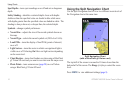
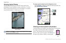
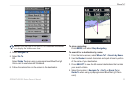
Using Automatic Guidance
Automatic Guidance automatically creates and suggests routes based
on available BlueChart g2 Vision chart information. See page 38 for
instructions on setting up Automatic Guidance for your boat. The
“Where To?” section on page 22 has more information on how to
use Automatic Guidance.
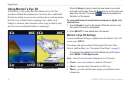
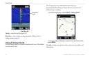
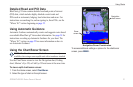
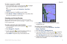
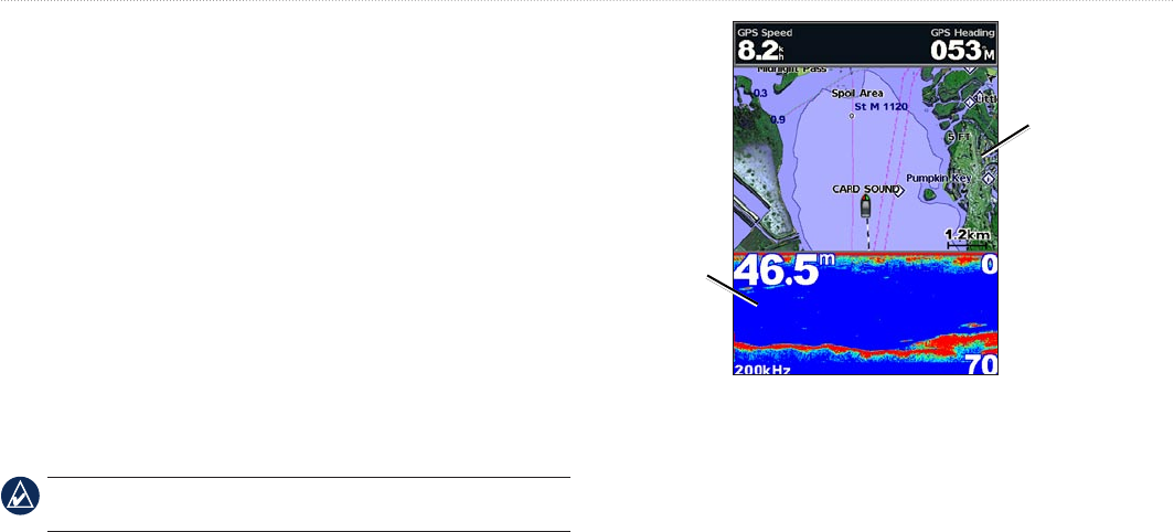
Using the Chart/Sonar Screen
NOTE: The Chart/Sonar screen, like the Sonar screen, is only
available when using a sonar capable unit with a transducer attached.
Use the Chart/Sonar screen to view the Navigation chart, Fishing
chart, Mariner’s Eye 3D, or Fish Eye 3D and sonar at the same time.
To view a split chart/sonar screen:
1. From the Home screen, select Chart/Sonar.
2. Select the type of chart on the split screen.
Navigation
chart screen
Sonar
screen
Navigation/Sonar Combination
To access additional settings or options for the chart/sonar
screen, press MENU.